
What is recorded here
Situated at the N edge of a plateau or low hill. The cropmark of a circular enclosure (diam. c. 40-45m) defined by a single fosse feature SE-W-NE is visible on aerial photograph (CUCAP, BOD 44). It is attached to the outer fosse feature of the bivallate rath (WX049-002002-), which is just to the E. It is also visible on aerial photographs (ASIAP (101) 21-4) taken in July 2000.
The above description is derived from the published 'Archaeological Inventory of County Wexford' (Dublin: Stationery Office, 1996). In certain instances the entries have been revised and updated in the light of recent research.
Compiled by: Michael Moore
Date of upload/revision: 4 February 2014
A local fairy fort (ringfort/rath); wider significance not recorded.
The monument record does not grant public access. Check the route and ask the landowner before entering private land.
- What survives
- Recorded monument
Places near here
 Dollar Bay BeachBeach / strand · 507 yd
 ToberlukeHoly well · 612 yd
 Not inidcatedBawn · 876 yd
 Booley Bay BeachBeach / strand · 904 yd
 Carricjmore CliffCliff · 1366 yd
 Promontory fortPromontory fort, coastal · 1526 yd
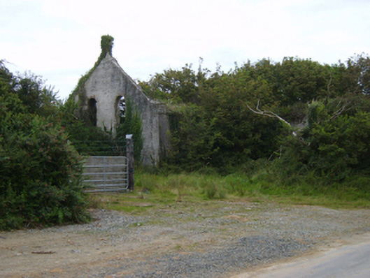 Templetown Catholic Chapelchurch/chapel · 1.0 mi
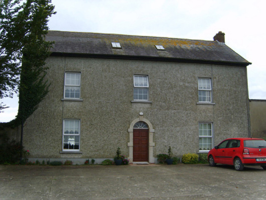 Air Hillfarm house · 1.1 mi
 IndicatedCastle, ringwork · 1.1 mi
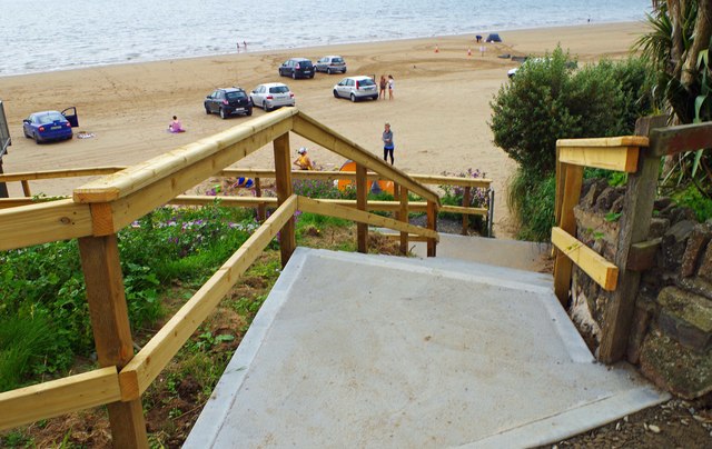 Duncannon BeachVisitor information · 2.3 mi
 Baginbun HeadHeadland · 3.2 mi
 Common WhitebeamCommon Whitebeam · 3.7 mi
Other information
Photo: Credit not shown in the picture search · Rights wording not checked; contact us if this picture should be removed