
What is recorded here
A well is marked on the 1839 and 1925 eds of the OS 6-inch map and described in italic lettering on both as Toberluke. It is located on a gentle S-facing slope. Although not recorded by John O’Donovan writing c. 1840 this is regarded a possible holy well, the name being a corruption of Tober Alloch, from the patron of the Templetown parish (Hore 1900-11, vol. 4, 359). Alloch was a Welsh saint, the son of Brecaun and the brother of Dubhán (Redmond 1898, 25), whose churches (WX054-003002-; WX054-009001-) are also on Hook peninsula. There is no visible evidence of a well, and there is no evidence of, or record of, veneration. Termpletown church (WX049-008001-) is c. 1.4km to the S. (Redmond 1900, 223; Colfer 1978, 12; Culleton 1999, 128-9)
Compiled by: Michael Moore
Date of upload: 31 March, 2014
Linked to Saint Luke, the well is traditionally associated with healing and was likely a site of pilgrimage. The name "Toberluke" reflects an old tradition of dedicating holy wells to saints, particularly Luke, who was venerated for his role as a healer in early Christian lore.
The monument record does not grant public access. Check the route and ask the landowner before entering private land.
- What survives
- Recorded monument
Places near here
 Not inidcatedBawn · 285 yd
 Enclosure in LewistownEnclosure · 612 yd
 Dollar Bay BeachBeach / strand · 1100 yd
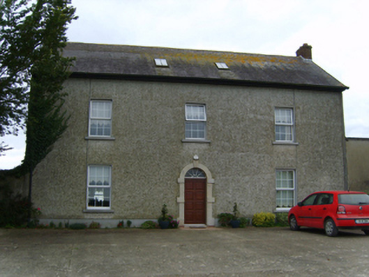 Air Hillfarm house · 1326 yd
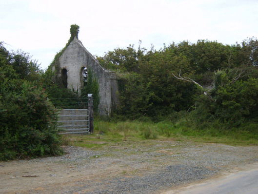 Templetown Catholic Chapelchurch/chapel · 1344 yd
 Promontory fortPromontory fort, coastal · 1511 yd
 Booley Bay BeachBeach / strand · 1513 yd
 IndicatedCastle, ringwork · 1572 yd
 Carricjmore CliffCliff · 1.1 mi
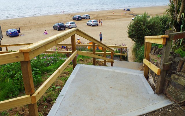 Duncannon BeachVisitor information · 2.7 mi
 Baginbun HeadHeadland · 2.9 mi
 Saltmills Explosion MemorialMemorial · 3.9 mi
Other information
Photo: Credit not shown in the picture search · Rights wording not checked; contact us if this picture should be removed