
What is recorded here
A 60m long west-facing headland slopes steeply down to the shore in an area of 100’ high sheer cliffs. The 19m wide neck of the promontory shows slight evidence of two low (50cms) earthen banks and a 4m wide shallow intervening fosse. A well-defined causeway crosses the enclosing elements in the centre. A fosse and land commission earthen bank running along the cliff edge outside the fort has disturbed the defences. A slight earthen bank runs around the perimeter of the promontory and a circular hut-site 3m in diameter is visible immediately inside the entrance. Several further indistinguishable earthworks are ranged along the northern cliff edge. The area is one of rolling fertile pasture. (Casey 2001)
Date of upload: 20 January 2020
The monument record does not grant public access. Check the route and ask the landowner before entering private land.
- What survives
- Recorded monument
Places near here
 Templetown Bay BeachBeach / strand · 793 yd
 IndicatedCastle, ringwork · 873 yd
 Templetown Churchchurch/chapel · 1042 yd
 Old Templar ChurchRuins · 1046 yd
 Not inidcatedBawn · 1456 yd
 ToberlukeHoly well · 1512 yd
 Enclosure in LewistownEnclosure · 1526 yd
 Dollar Bay BeachBeach / strand · 1534 yd
 Carricjmore CliffCliff · 1.4 mi
 Long RockNamed rock · 2.4 mi
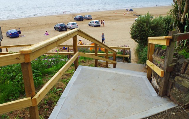 Duncannon BeachVisitor information · 2.8 mi
 St. Dubhan's ChurchHeritage attraction · 3.6 mi
Other information
Photo: Credit not shown in the picture search · Rights wording not checked; contact us if this picture should be removed