
What is recorded here
Located towards the top of an E-facing slope. A well is marked on the 1839 and 1925 Eds of the OS 6-inch map and described as St. Mary’s Well in gothic lettering on both. A slight depression is evident in a pasture field.
Compiled by: Michael Moore
Date of upload: 11 February, 2014
Linked to St. Mary, the well is traditionally associated with healing and fertility, with historical references to its use in local Christian devotional practices. The well’s long-standing recognition in Ordnance Survey maps suggests a continuity of veneration from at least the early 19th century.
The monument record does not grant public access. Check the route and ask the landowner before entering private land.
- What survives
- Recorded monument
Places near here
 mill (water)mill (water) · 533 yd
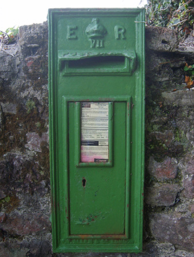 post boxpost box · 683 yd
 Enclosure in Ballygow (shelburne By.)Enclosure · 932 yd
 Embbanked enclosureFairy fort / earthen ringfort · 1659 yd
 AshgroveVisitor information · 1.4 mi
 Fethard CastleCastle, hall-house · 1.5 mi
 CastleCastle, motte · 1.6 mi
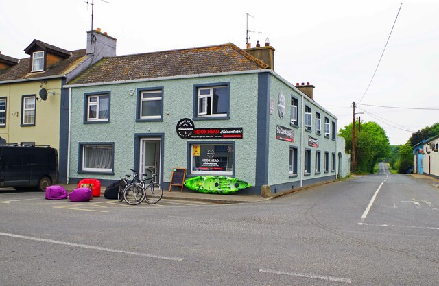 Hook Tourism (Fethard Office)Visitor information · 1.6 mi
 Booley Bay BeachBeach / strand · 1.7 mi
 Grange BeachBeach / strand · 1.8 mi
 Carricjmore CliffCliff · 1.8 mi
 1798Memorial · 2.3 mi
Other information
Photo: Credit not shown in the picture search · Rights wording not checked; contact us if this picture should be removed