What is recorded here
Fairy fort / earthen ringfort in Knockadoobrusna is a fairy fort or earthen ringfort in Knockadoobrusna, County Roscommon, Ireland. Aerial photographs show a large enclosure with a wide fosse, internal and external banks, and a possible southeast entrance. The earthworks disappeared after the 1970s, leaving only a faint circular grass area where a ring-barrow stands thirty metres to the east.
Towards the top of the SW-facing slope of the NE summit of a NE-SW ridge. Marked as a circular enclosure (diam. c. 50m) only on the 1914 ed. of the OS 6-inch map, and visible on aerial photographs as a large enclosure defined by a wide fosse with traces of an internal and external bank (CUCAP: AHN 3-6) which appears to have had an entrance at SE. It has been removed since the 1970s and is visible today as a circular grass-covered area (diam. c. 40m) defined by a slight scarp (H 0.1-0.5m). Archaeological testing (99E0233; 99E0366) associated with a NNW-SSE road c. 50m to the W failed to produce any related archaeological material (Moore 2000; Swan 2000b), and neither did testing (06E0297) c. 100m to the WNW (Henry 2009a). Ring-barrow (RO006-118005-) is c. 30m to the E.
Compiled by: Michael Moore
Date of upload: 24 August 2010
This remains an important historical record, but the official description says the monument is no longer visible or has been destroyed. The monument record does not grant public access. Check the route and ask the landowner before entering private land.
- What survives
- No visible remains or recorded as destroyed
Places near here
 IndicatedField system · 914 yd
 Enclosure in BallytrasnaEnclosure · 1180 yd
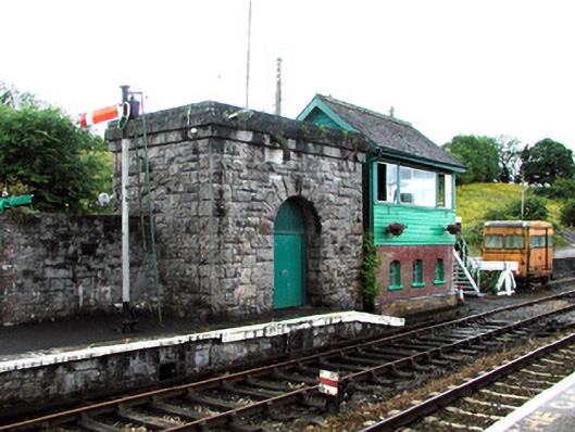 Boyle Railway Stationsignal box · 1.1 mi
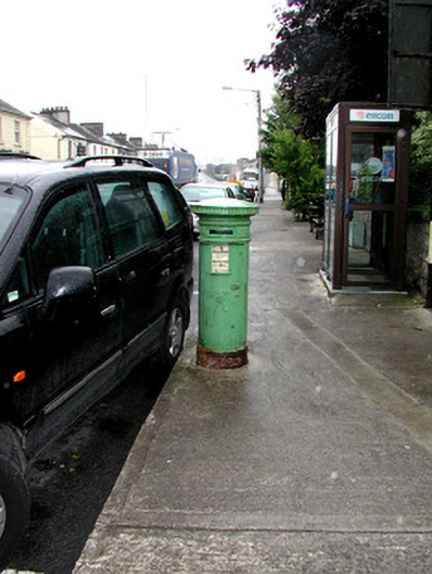 Historic buildingOfficially recorded historic building · 1.2 mi
 King William MemorialMonument · 1.4 mi
 Boyle AbbeyHeritage attraction · 1.4 mi
 Moylung Castle (in ruins)Castle, unclassified · 2.6 mi
 Erris BayBay · 2.6 mi
 Bingham IslandIslet · 2.8 mi
 Lough Key Forest ParkWood · 2.9 mi
 Trinity IslandIslet · 3.1 mi
 Battle of Curlew PassMajor battlefield · 3.2 mi