What is recorded here
There is no paper file in the ASI archive for this monument. In poorly drained grassland with ringfort (WM012-019----) 170m to W. Depicted on the 1st. ed. OSi 6-inch map as a circular-shaped area (diam. c. 35m) enclosed by a bank. Outline of levelled or degraded monument visible on Digital Globe orthoimage taken between 2011-13.
Compiled by: Caimin O'Brien
Date of upload: 16 August 2023
The monument record does not grant public access. Check the route and ask the landowner before entering private land.
- What survives
- Recorded monument
Places near here
 OutlinedFairy fort / earthen ringfort · 681 yd
 TobermichaelHoly well · 862 yd
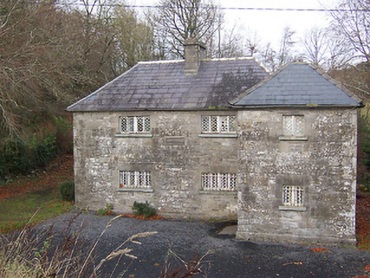 RIC barracksRIC barracks · 880 yd
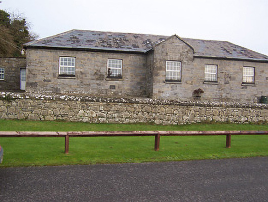 Ballynafid National Schoolschool · 903 yd
 CastleCastle, unclassified · 1.5 mi
 Scragh Bog Nature ReserveNature reserve · 1.8 mi
 Bridge Memorial (Kenna)Memorial · 1.8 mi
 Church IslandIsland · 2.4 mi
 Carrickphilbin IslandIslet · 2.8 mi
 Nugent's CastleCastle · 2.9 mi
 Lady's IslandWood · 3.0 mi
 KnockeyonMountain / peak · 3.6 mi