What is recorded here
Fairy fort in Knavinstown, County Meath: a circular earthen enclosure about twenty metres across, still visible as two or three grass-covered banks on the south bank of the canalized Hurley River. People called it a fairy fort because small round places like this often sounded like fairy work, yet it may have been an ordinary ringfort where someone lived, kept stock or marked a boundary. The flat riverbank makes the rings easy to miss unless you know where to look.
Situated on a level landscape on the S bank of the E-W canalized Hurley River. A circular enclosure (diam. c. 20m) enclosed by two or three grass-covered earthwork banks SE-W-N is visible on Google Earth (05/10/2009, 23/09/2013, 28/01/2017). It was first reported by Jacqui Anderson, and it is also visible on Digital Globe (2013).
See the attached view from Google Earth
Compiled by: Michael Moore
Date of upload: 15 January 2020
The monument record does not grant public access. Check the route and ask the landowner before entering private land.
- What survives
- Recorded monument
Places near here
 Font (present location) in CrickstownFont (present location) · 596 yd
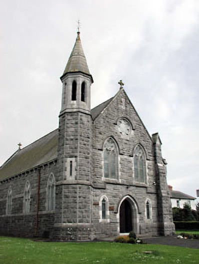 Saint Andrew's Catholic Churchchurch/chapel · 606 yd
 Church (in Ruins)Church · 1039 yd
 CastleCastle, unclassified · 1058 yd
 Emerald ParkHeritage attraction · 1574 yd
 Lemur WoodWood · 1.0 mi
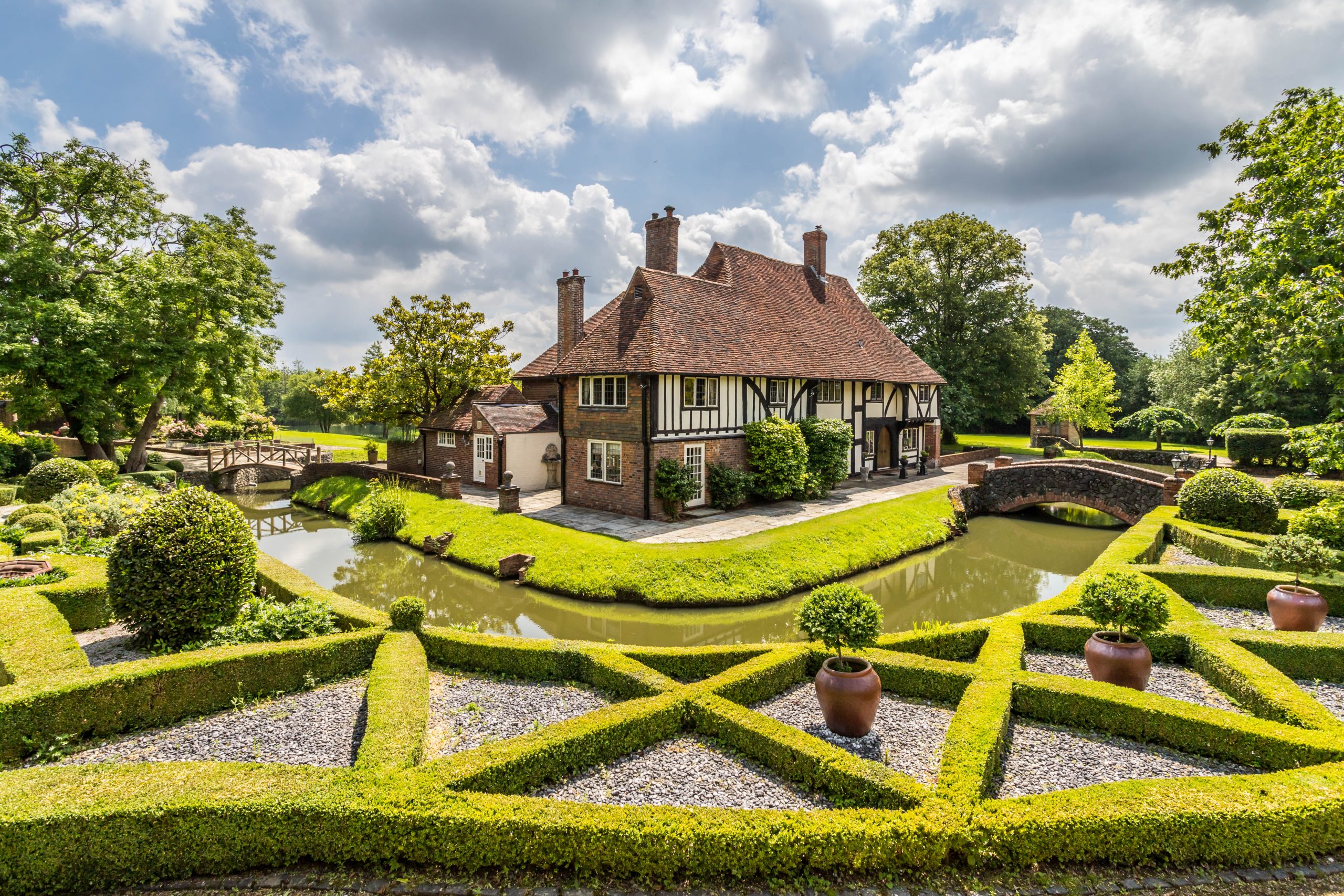 MoatBarrow, unclassified · 1.3 mi
 Newtown HillMountain / peak · 1.3 mi
 Newtown GorseWood · 1.9 mi
 Bawn in KilleglandBawn · 2.6 mi
 Cornstown HouseHeritage attraction · 2.6 mi
 AshbourneMemorial · 3.8 mi