What is recorded here
Situated on a fairly level landscape. The cropmark of a circular feature (dims c. 30m N-S; c. 30m E-W) that may be a slightly sunken area is visible on aerial photographs (ASIAP (6) 0, 1). It is defined by a fosse feature SW-N-E, with a second outer fosse feature N-NE.
Compiled by: Michael Moore
Date of upload: 8 January, 2014
The monument record does not grant public access. Check the route and ask the landowner before entering private land.
- What survives
- Recorded monument
Places near here
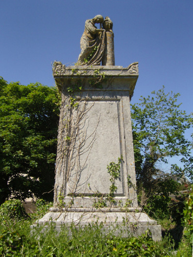 Saint Iberius's Graveyardmausoleum · 680 yd
 Enclosure in GorteencrinEnclosure · 797 yd
 Church in ruinsChurch · 843 yd
 Enclosure in Coldblow (forth By., St. Helen's Ed)Enclosure · 954 yd
 Lady's IslandVisitor information · 1472 yd
 TowerBawn · 1603 yd
 ScargeenIsland · 1.0 mi
 CastleCastle, tower house · 1.2 mi
 InishIsland · 1.5 mi
 Shernock Hill/Knocks HillMountain / peak · 1.6 mi
 The Fairy Stone/RockNamed rock · 1.9 mi
 Rosslare Harbour Maritime Heritage CentreMuseum · 1.9 mi