What is recorded here
Situated on a gently undulating landscape. The vegetation mark of a circular feature (diam. c. 40m) is visible on aerial photographs (ASIAP (5) 22, 32). It is defined by a single feature that might be a path S-N-SE which is visible in grass.
From the National Monuments Service (Archaeological Survey of Ireland) record WX048-140
The monument record does not grant public access. Check the route and ask the landowner before entering private land.
- What survives
- Recorded monument
Places near here
Photo credits
- National Inventory of Architectural Heritage
- User Ali-oops on en.wikipedia, Wikimedia Commons · GFDL
- Ojsyork, Wikimedia Commons · CC BY 4.0
- DeFacto, Wikimedia Commons · CC BY-SA 4.0
- Cozzmick, Wikimedia Commons · CC BY-SA 4.0
Hoar StoneArchaeological place · 537 yd farm house1033 ydfarm house1078 ydCastleCastle, tower house · 1646 ydLady's IslandVisitor information · 1.1 miShernock Hill/Knocks HillMountain / peak · 1.3 miScargeenIsland · 1.3 miThe Fairy Stone/RockNamed rock · 1.3 miCarne BeachBeach / strand · 1.8 miLifeboat MemorialMemorial · 1.9 miWindmill (Corn) (Disused)Windmill · 2.6 miCastleCastle, tower house · 3.6 mi
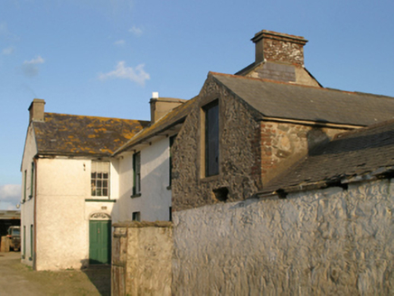 farm house1033 yd
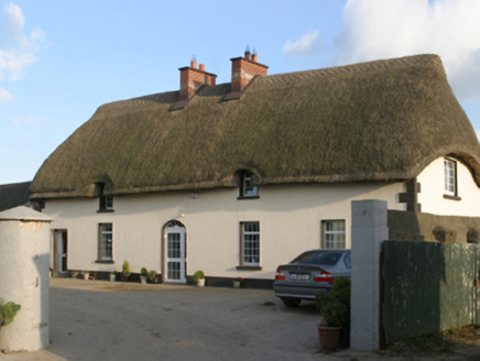 farm house1078 ydCastleCastle, tower house · 1646 ydLady's IslandVisitor information · 1.1 miShernock Hill/Knocks HillMountain / peak · 1.3 miScargeenIsland · 1.3 miThe Fairy Stone/RockNamed rock · 1.3 mi
 Carne BeachBeach / strand · 1.8 mi
 Lifeboat MemorialMemorial · 1.9 mi
 Windmill (Corn) (Disused)Windmill · 2.6 mi
 CastleCastle, tower house · 3.6 mi
More archaeology and monuments in County Wexford · All of County Wexford
What do you know about this place?