What is recorded here
Fairy fort in Kippagh North is an earthen ringfort with a surviving bank, a western gap, conifers inside, and a disused limekiln recorded on the northern rampart. It sits atop a gentle rise in pasture, large enough for a small dwelling or stronghold but now more like a forgotten room in the land. The fairies may have taken the meaning, yet the earth still holds the shape of human urgency.
In pasture, atop rise on gentle N-facing slope. Depicted as hachured triangular enclosure on 1842 OS 6-inch map, with limekiln in N bank; arc of hachured bank survives S->NW on 1904 and 1938 OS 6-inch maps, laneway to N skirts site. Interior (diam. 27m) defined by surviving earthen bank (int. H 1.3m; ext. H 0.9m) SE->NNW. Break in bank to WNW (Wth 2m). Bank and part of interior planted with coniferous trees. Recorded by Bowman (1934, 64-5) as single-ramparted fort (diam. c. 32yd) on J. Galvin's land; bank H c. 4ft, interior c. 2ft higher than outside field level; disused limekiln on northern rampart.
The above description is derived from the published 'Archaeological Inventory of County Cork. Volume 4: North Cork' (Dublin: Stationery Office, 2000). In certain instances the entries have been revised and updated in the light of recent research.
Date of upload/revision: 14 January 2009
A fairy fort or earthen ringfort in Kippagh North, likely an early-medieval agricultural or defensive site, is marked on 19th-century maps with a limekiln indicating later industrial use. Local tradition associates such sites with fairy folklore, reflecting their mystical status in Irish cultural memory.
The monument record does not grant public access. Check the route and ask the landowner before entering private land.
- What survives
- Recorded monument
Places near here
 Fulacht fia in Kippagh MiddleFulacht fia · 331 yd
 Urn burial in CoolnahaneUrn burial · 672 yd
 Bridgeview CottCountry house · 977 yd
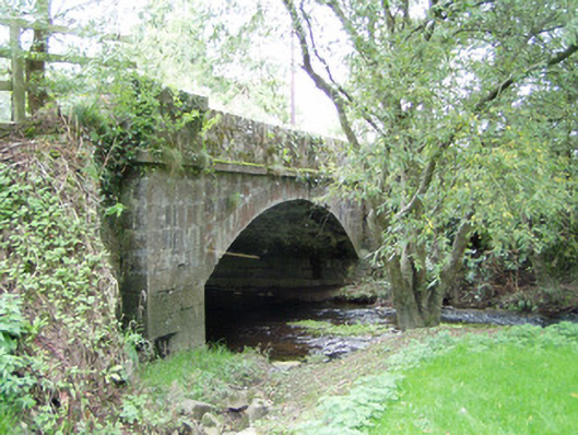 Bannagh Bridgebridge · 1168 yd
 Castle Magner (in Ruins)Bawn · 1.2 mi
 European YewEuropean Yew · 1.6 mi
 Burial ground in AssolasBurial ground · 1.6 mi
 CastleCastle, unclassified · 1.6 mi
 St Fursey's WellSpring · 1.9 mi
 Graveyard in Ballygiblin (duhallow By.)Graveyard · 2.2 mi
 Mount Hillary - Knightfield LoopWalking route · 2.4 mi
 Mount Hillary - Father Murphy LoopWalking route · 2.7 mi