What is recorded here
Situated in a slight col with slightly higher ground to the N and S. The cropmark of a D-shaped or subrectangular enclosure (dims c. 40m N-S; c. 35m E-W) defined by a slight fosse feature is visible on aerial photograph (CUCAP, ASZ 48) with the straight side at W and a possible entrance at E. There is evidence of fields attached to it. It is not visible at ground level in pasture.
The above description is derived from the published 'Archaeological Inventory of County Wexford' (Dublin: Stationery Office, 1996). In certain instances the entries have been revised and updated in the light of recent research.
Compiled by: Michael Moore
Date of upload/revision: 23 July 2013
The monument record does not grant public access. Check the route and ask the landowner before entering private land.
- What survives
- Recorded monument
Places near here
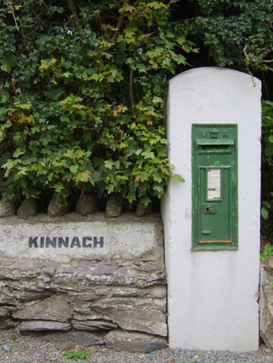 post boxpost box · 229 yd
 Lockheed Hudson AM885 MemorialMemorial · 243 yd
 Saint Martin's Villafarm house · 360 yd
 St. Martins WellHoly well · 859 yd
 IndicatedFairy fort / earthen ringfort · 1100 yd
 Bawn in TaylorstownBawn · 1.6 mi
 1798Memorial · 1.9 mi
 Bawn in Boley (shelburne By.)Bawn · 2.3 mi
 Tinnock RockNamed rock · 3.8 mi
 Grange BeachBeach / strand · 4.1 mi
 Common WhitebeamCommon Whitebeam · 4.5 mi
 Carrig-On-BannowVisitor information · 4.7 mi