What is recorded here
No visible entrance remains on the steep slope above Clooncose Lough, though a thirty-six metre circular scar still holds the memory of a threshold. Earth and stone were stacked into a five-metre bank, not for display but to keep out what the land believed dangerous. People may have lived inside that tilted circle, facing the water and leaving no name behind. The fort does not need a date to be real; it shape still resists forgetting.
On a steep NW-facing slope overlooking Clooncose Lough. A raised circular area (diam. 36.2m) enclosed from NE-E-S by a substantial bank of earth and stone (Wth 5.8m; H 1.3m) and a wide, shallow external fosse (Wth 5.5m; D 0.3m), both of which have been incorporated into a field boundary. Elsewhere the delimiting element is a poorly defined scarp (H 0.1-0.55m). The original entrance is not recognisable. The interior slopes appreciably from SE to NW.
Compiled by: Patrick F. O'Donovan
Date of upload: 26 August 2011
The monument record does not grant public access. Check the route and ask the landowner before entering private land.
- What survives
- Recorded monument
Places near here
 IndicatedCrannog · 276 yd
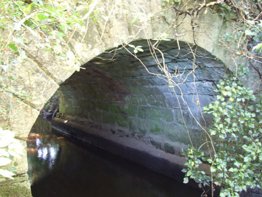 bridgebridge · 407 yd
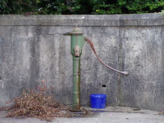 water pumpwater pump · 882 yd
 Battle of BallinamuckMajor battlefield · 1749 yd
 Man-made underground passage in ShanmullaghMan-made underground passage · 1.0 mi
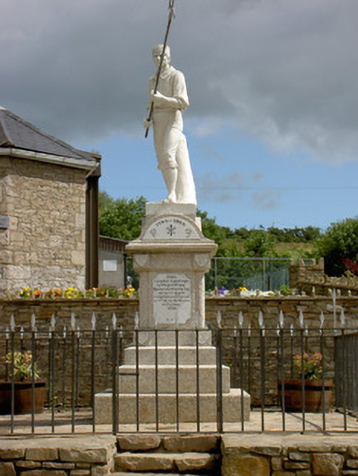 1798 Monumentmonument · 1.1 mi
 North Midland Transport CollectionMuseum · 2.4 mi
 Ballinamuck Bog LoopWalking route · 2.5 mi
 Native Woodland Trust: Farnaght ReserveWood · 2.6 mi
 OratoryCastle, tower house · 4.2 mi
 Sessile OakSessile Oak · 4.8 mi
 Duck IslandIslet · 4.8 mi