What is recorded here
Fairy forts are human ringforts misnamed by later folklore. In Kiltycarney, a faint earthen bank still circles a shallow grassy hollow on a gentle slope, measuring about twenty-four metres across. Cattle graze above it now, but the ridge remains visible enough for survey instruments to trace its shape. People may have lived there long before written records, raising a wall against rain and neighbours, then leaving it to soften into the land.
Situated on a gentle E-facing slope in improved pasture. It was first identified by Susan Curran as part of an M.A. thesis with University College Dublin using a LiDAR survey dataset commissioned by Leitrim County Council and the National Roads Authority. This is a circular area (diam. 24m E-W; 22m N-S) defined by the slight remains of an earthen bank (at W; Wth of base 8.7m; Wth of top 4m; int. H 0.5m; ext. H 0.05m) S-W-N (upslope), which is reduced to an external scarp (Wth 3m; H 0.4m) N-E-S. There are traces of a fosse (at W: Wth of top 6m; Wth of base 2.5m; D 0.15m) S-W-NE (upslope), but there is no identifiable entrance.
Compiled by: Michael Moore
Date of upload: 11 May, 2015
The monument record does not grant public access. Check the route and ask the landowner before entering private land.
- What survives
- Recorded monument
Places near here
 IndicatedEnclosure · 739 yd
 Enclosure in GarvloughEnclosure · 972 yd
 R. C. ChapelChurch · 1222 yd
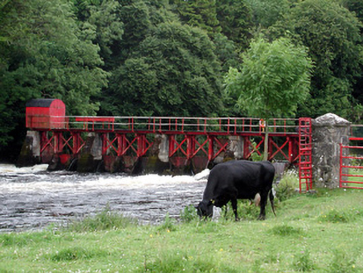 sluice/sluice gatesluice/sluice gate · 1635 yd
 CastlecarraCastle, unclassified · 1.3 mi
 Patrick Gill Memorial Plaque (IRA)Monument · 1.7 mi
 Robert Strawbridge MemorialMemorial · 1.8 mi
 Moon RiverHeritage attraction · 2.0 mi
 Wildlife AreaNature reserve · 2.0 mi
 PortCastle, unclassified · 3.0 mi
 Leabaidh DermotCave · 4.1 mi
 Hughestown WoodForest · 4.6 mi