What is recorded here
Fairy forts are misnamed: human ringforts misread by later belief. Kilsallagh kept its shape long enough to be measured, forty-two metres across on a low ridge, before pasture and plough softened the bank into a barely visible scar. The fort may have housed a family, a herder, or a small cluster of people during the height of ringfort building in Ireland. What is certain is that the circle resisted forgetting longer than the names of the people who drew it.
On a low ridge in pasture. Depicted as a large circular enclosure with the designation 'Fort' on the 1837 ed. of the OS 6-inch map. A report in 1976 (SMR file) indicates that this slightly raised circular area (diam. c. 42m) was enclosed by a wide low bank of earth and stone and an external fosse. It has been largely levelled and is defined by a broad, low scarp (H 0.3m). The original entrance is not recognisable.
Compiled by: Patrick F. O'Donovan
Date of upload: 26 August 2011
The monument record does not grant public access. Check the route and ask the landowner before entering private land.
- What survives
- Recorded monument
Places near here
 Mound in KilsallaghMound · 1222 yd
 Enclosure in LisnagrishEnclosure · 1580 yd
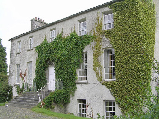 Clonwhelan Househouse · 1701 yd
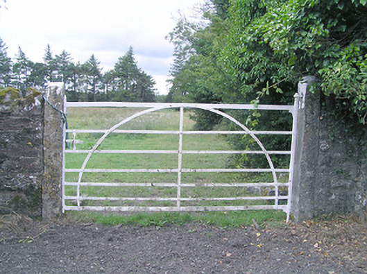 gates/railings/wallsgates/railings/walls · 1704 yd
 MoatawardCastle, motte and bailey · 1.2 mi
 Silver FirSilver Fir · 1.5 mi
 Edgeworthstown BypassMemorial · 2.0 mi
 MoatCastle, motte · 2.2 mi
 Sweet ChestnutSweet Chestnut · 2.7 mi
 Granard MotteMotte-and-bailey castle remains · 7.0 mi
 1798 Monumentmonument · 7.1 mi
 First World War MemorialMemorial · 10 mi