What is recorded here
Fairy fort / earthen ringfort in Kilross (Clonbeg parish) is a fairy fort or earthen ringfort in Kilross (Clonbeg parish), County Tipperary, Ireland. It occupies an oval area measuring 22 metres north-northwest to south-southeast and 26 metres east-northeast to west-southwest on a north-northwest-facing slope. A broad bank surrounds the interior, while a narrow fosse runs west-southwest through north to east-southeast, with a possible entrance at the southwest.
In rough pasture, on a NNW-facing slope. Oval area (dims. 22m NNW-SSE; 26m ENE-WSW) defined by bank (Wth 5.2-6.5m; int. H 0.6-0.85m; ext. H 0.85-0.9m) with occasional cattle breaches and obscured by furze bushes SW-NNW, NE and E-ESE. Fosse (Wth 3.5m D 0.2m) WSW-N-ESE is best preserved at WSW (Wth 4.7m; D 0.7m). Possible entrance (Wth 4.7m) at SW. Land drain (long-axis ENE-WSW; D 1.25m) truncates fosse and base across S-sector. Interior has a NNW-facing slope with occasional rushes. Two linear depressions (long-axis c. N-S) within are land drains: Drain (Wth 7.3m; D 0.35m) at W breaches bank of monument at NW where it continues on exterior; Drain (Wth 1.8m; D 0.6m) at E may connect to fosse, but obscured by overgrowth.
Compiled by: Jean Farrelly
Date of upload: 26 August 2011
The monument record does not grant public access. Check the route and ask the landowner before entering private land.
- What survives
- Recorded monument
Places near here
 Enclosure in Kilross (clonbeg Par.)Enclosure · 1041 yd
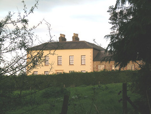 Ballywire Househouse · 1.1 mi
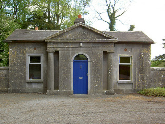 Mooresfort Housegate lodge · 1.4 mi
 BarrowBarrow, unclassified · 1.5 mi
 CastleCastle, ringwork · 1.9 mi
 SlievenamuckMountain / peak · 2.0 mi
 MoatCastle, motte · 2.3 mi
 Duntryleague HillMountain / peak · 2.4 mi
 Darby's Bed Walk LoopWalking route · 2.4 mi
 Carn (site of)Cairn, burial cairn · 2.7 mi
 Bansha ForestForest · 3.3 mi
 Giant's Rock - Rock of AglaishNamed rock · 4.2 mi