What is recorded here
Kilross holds a forgotten ringfort on a narrow terrace beside a rising hill. Men straightened its ancient bank for a field boundary, yet the inner circle still appears when grass grows thin or rain marks the soil. The fort gave up its shape to farming, but it never left the land. It waits beneath ordinary pasture, holding its quiet line while the hill watches over Donegal sky.
Located in pasture, on a level terrace at the S end of a prominent roughly N−S hill/ridge, just below the summit. It is overlooked by a higher ridge (now forested) c. 400m to E. There are extensive views over undulating grassland at SE−NW. To N views are restricted by the gently rising slope to the summit of the hill, from which the views northwards are excellent. The location of another rath (DG069-039----), also levelled, is visible on lower ground 240m to S.
This enclosure, most likely a rath, was levelled at some unknown date in the past. It is not shown on any edition of the OS 6-inch maps. The outline of a subcircular area (58m N−S; 46-50m E−W) is clearly visible in Lidar imagery, but is barely discernible at ground level. It encompasses the level space on the terrace, with the outline of the levelled bank/scarp still evident where it merges with the contours of the hill slope on the SE arc and at SW−W. The outline is difficult to trace at E and S. On the NE arc it is incorporated into a field bank (Wth c. 2m; int. H 0.3m; ext. H 1m), which respects the curve of the enclosure and may preserve remnants of the original enclosing bank. The field bank barely rises above interior ground level, is cut to the vertical on the external face and is topped with post and wire fence and a hawthorn hedgerow.
The interior is relatively level, except for a slight slope down at E. A loose cluster of large boulders lie on the ground surface in the NE quadrant.
The hill slope falls away steeply on the W side of the enclosure and more gradually at E and at S where the spine of the ridge tapers off.
Notified to NMS by Steve McGlade.
Attached images:
DG069-038----_01.JPG Levelled scarp, viewed from NW
DG069-038----_02.JPG Lidar image (Open topographic data viewer)
Compiled by: Jane O'Shaughnessy
Date of upload: 10 May 2022
The monument record does not grant public access. Check the route and ask the landowner before entering private land.
- What survives
- Recorded monument
Places near here
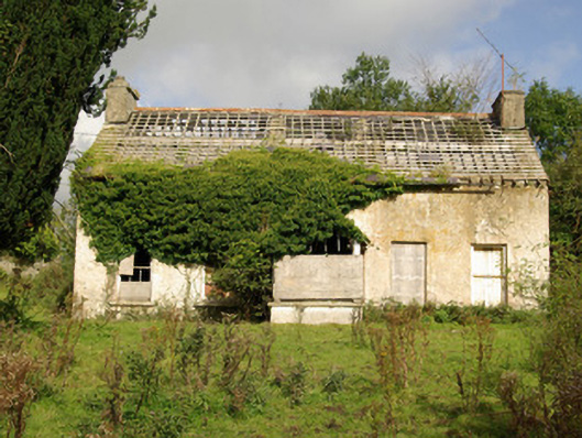 Tyrcallen Househunting/fishing lodge, house · 725 yd
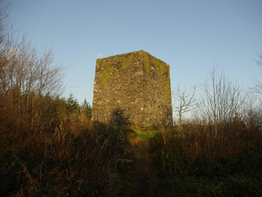 Mullaghagarry Towerfolly · 1029 yd
 TobernasoolHoly well · 1377 yd
 Holy WellHoly well · 1.4 mi
 Bawn in Killynure OR Wilsons FortBawn · 2.0 mi
 Castle (Site of)Castle, unclassified · 2.1 mi
 Drumboe WoodForest recreation place · 2.4 mi
 Gorey HillMountain / peak · 4.8 mi
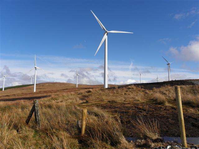 Three TopsMountain / peak · 6.3 mi
 Newmills Corn and Flax MillsHeritage attraction · 7.2 mi
 Battle of Scarrifholisbattle · 7.3 mi
 Stackarnagh Abbey GraveyardGraveyard · 10 mi