What is recorded here
Killinamakey is in west Cork. The fort is a circular earthwork beside the Sall river. Bernard Scalé called it Danes Fort in 1775. The bank is still visible as a gentle slope in pasture.
In pasture, on S bank of Sall river. Arc of bank marked on 1st. ed. O.S.map, survives as gentle scarp. This monument is depicted as a circular earthwork and is named 'Danes Fort' on a map entitled - 'Survey of the Bandon and Western Districts in the baronies of Killinamakey, East Carbery, Musgerry, Barrets and Barryroe and County of Cork. The estate of his Grace the Duke of Devonshire by Bernard Scalé, 1775'.
The above description is derived from the published 'Archaeological Inventory of County Cork. Volume 1: West Cork' (Dublin: Stationery Office, 1992). In certain instances the entries have been revised and updated in the light of recent research.
Date of upload/revision: 14 January 2009
The monument record does not grant public access. Check the route and ask the landowner before entering private land.
- What survives
- Recorded monument
Places near here
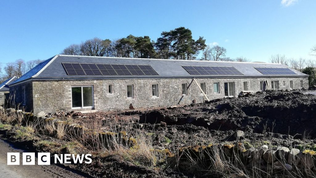 Corn MillMill, corn · 293 yd
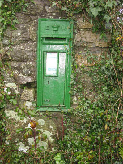 post boxpost box · 465 yd
 Burial ground in Kilpatrick (kinalmeaky By.)Burial ground · 846 yd
 Fulacht fia in Kilmore (kinalmeaky By.)Fulacht fia · 1.1 mi
 Roche's WoodWood · 1.3 mi
 Downdaniel Castle (in Ruins)Castle, tower house · 1.4 mi
 Graveyard in KilnagnadyGraveyard · 1.6 mi
 Monterey CypressMonterey Cypress · 1.7 mi
 Sunday WellSpring · 2.0 mi
 Innishannon WoodsPicnic place · 2.0 mi
 Castle Nalacht, site ofCastle, unclassified · 2.3 mi
 Bandon War MemorialMemorial · 2.7 mi