What is recorded here
In Kilpatrick, a walled fort vanished beneath the grass, leaving only a gentle rise on the eastern slope. People called it a Danes Fort on a 1775 map, yet no stone or trench remains for them to point at. The land swallowed the boundary, keeping the fort hidden while pretending to be ordinary pasture.
In pasture, on a W-facing slope. Indicated as a circular 'Danes Fort' on a 1775 map (no. 37) by B. Scalé (private collection). It is not visible at ground level, though a gentle rise on the upslope to the E may be the edge of a levelled rath.
The above description is derived from 'The Archaeological Inventory of County Cork. Volume 5' (Dublin: Stationery Office, 2009).
Date of upload: 22 December 2009
The monument record does not grant public access. Check the route and ask the landowner before entering private land.
- What survives
- Recorded monument
Places near here
 Kilpatrick Housegate lodge · 150 yd
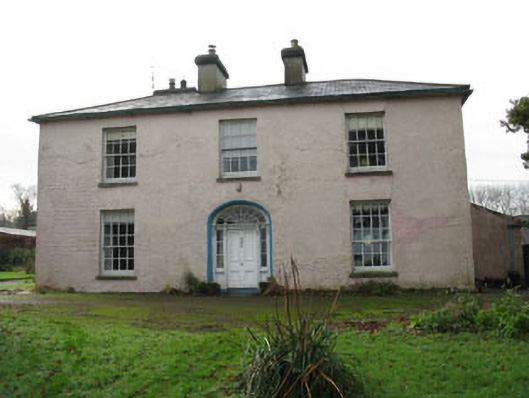 Riverviewcountry house · 1390 yd
 Mound in Kilbeg SouthMound · 1575 yd
 Burial ground in MishellsBurial ground · 1716 yd
 Roche's WoodWood · 1.2 mi
 Bandon War MemorialMemorial · 1.7 mi
 Downdaniel Castle (in Ruins)Castle, tower house · 1.9 mi
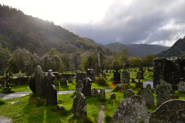 Graveyard in GullyGraveyard · 2.0 mi
 Castle Nalacht, site ofCastle, unclassified · 2.2 mi
 Carbury's WellSpring · 2.2 mi
 Dromkeen WoodWood · 2.5 mi
 Marie LouiseWreck · 4.4 mi