What is recorded here
Half of Kilnacloona's fairy fort still stands on the north-facing slope above the Bandon river, its earth and stone bank rising nearly two metres before dropping away to the east. The missing southern half was torn out around 1978, erasing the second bank and ditch that once completed the circle. The field may have swallowed a whole life, but it still points to the shape of the place: a round room built for people, misread by legend, then cut open by forgetfulness.
In pasture, on N-facing slope, overlooking Bandon river. Shown as circular enclosure on 1842 OS 6-inch map; indicated as semi-circular enclosure SSE->NNWon later ed. Site interior (38.6m N-S; 33.9m E-W) defined by denuded earth and stone bank (ext. H 1.9m), very low to E. Slight trace of fosse. Interior slopes gently to E. According to local informtion, second bank (Hc. 1m) and intervening fosse (D c. 3m) removed c. 1978-9. No visible surface trace.
The above description is derived from the published 'Archaeological Inventory of County Cork. Volume 2: East and South Cork' (Dublin: Stationery Office, 1994). In certain instances the entries have been revised and updated in the light of recent research.
Date of upload/revision: 14 January 2009
The monument record does not grant public access. Check the route and ask the landowner before entering private land.
- What survives
- Recorded monument
Places near here
 Ringfinnan 9/11 Garden of RemembranceMemorial · 643 yd
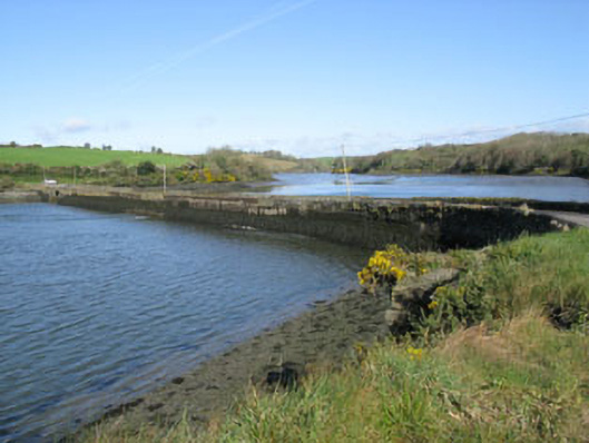 road (section of)road (section of) · 1497 yd
 Blacks Brewery & DistilleryHeritage attraction · 1603 yd
 Fulacht fia in Cappagh (kinsale By.)Fulacht fia · 1679 yd
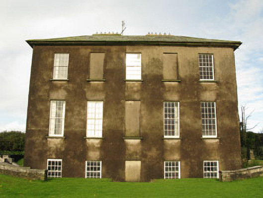 Ballywilliamcountry house · 1.1 mi
 Ringrone CastleCastle · 1.2 mi
 Ringrone Castle (in Ruins)Castle, tower house · 1.2 mi
 Ladys WellHoly well · 1.3 mi
 Battle of KinsaleMajor battlefield · 1.5 mi
 Ballinacurra WoodWood · 1.5 mi
 Graveyard in Abbey-Lands, Part of (kinsale By., Ringcurran Par.)Graveyard · 1.5 mi
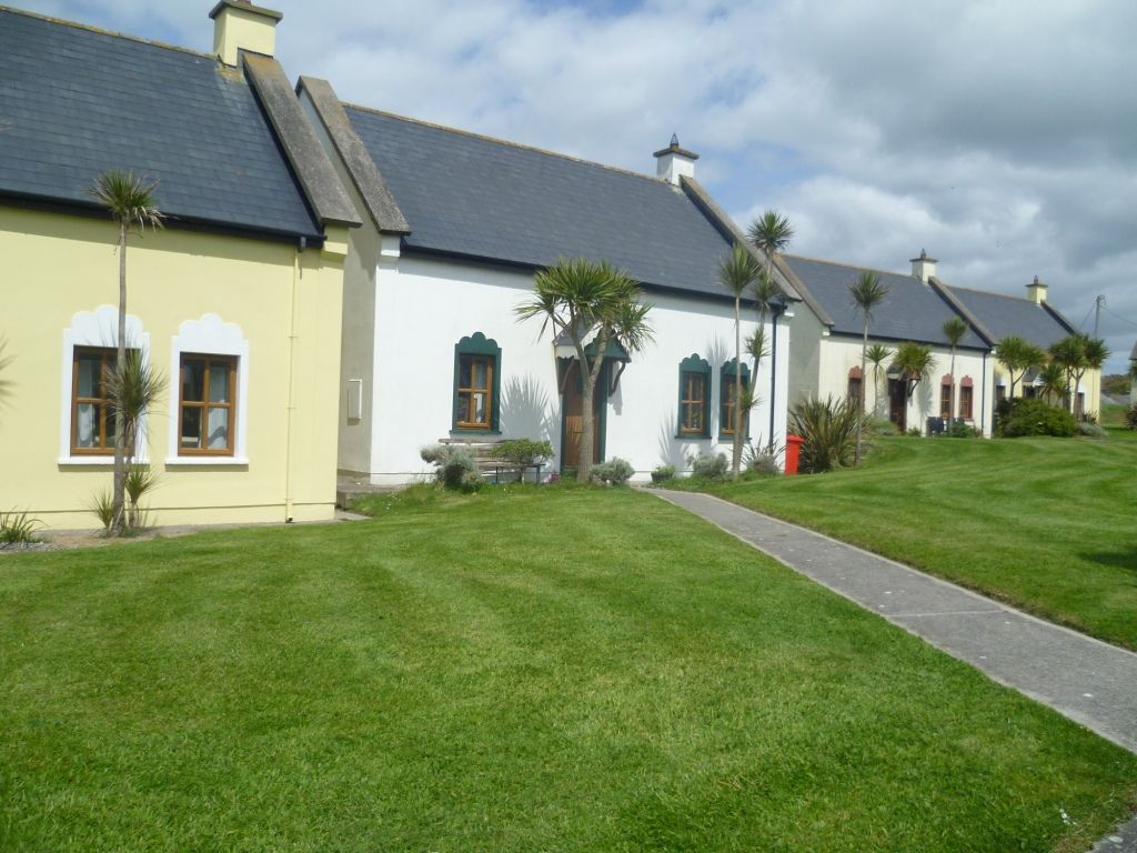 Kinsale Alms HousesVisitor information · 1.6 mi