What is recorded here
Kilnacloona holds a circular earthen ringfort roughly thirty-five metres across on a northeast-facing slope. The 1842 Ordnance Survey map still marks the enclosure, though only a low rise and scattered stone remain visible today. Local tradition calls it a fairy fort, suggesting people once believed the hidden residents still occupied the abandoned human shape.
On NE-facing slope. Shown on 1842 OS 6-inch map as circular enclosure (diam. c. 35m). Low rise with spread of stone visible; no other surface trace.
The above description is derived from the published 'Archaeological Inventory of County Cork. Volume 2: East and South Cork' (Dublin: Stationery Office, 1994). In certain instances the entries have been revised and updated in the light of recent research.
Date of upload/revision: 14 January 2009
The monument record does not grant public access. Check the route and ask the landowner before entering private land.
- What survives
- Recorded monument
Places near here
 Ringfinnan 9/11 Garden of RemembranceMemorial · 1067 yd
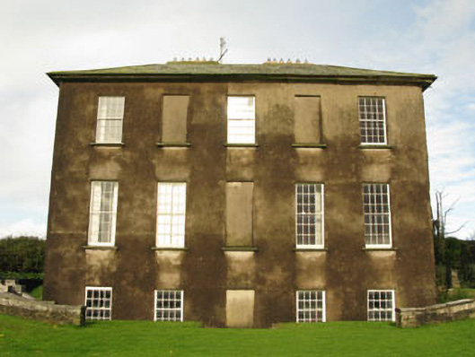 Ballywilliamcountry house · 1752 yd
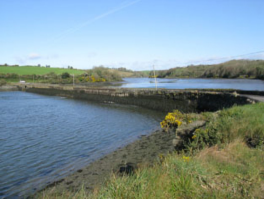 road (section of)road (section of) · 1.2 mi
 Fulacht fia in Cappagh (kinsale By.)Fulacht fia · 1.3 mi
 Blacks Brewery & DistilleryHeritage attraction · 1.3 mi
 Ringrone CastleCastle · 1.5 mi
 Ringrone Castle (in Ruins)Castle, tower house · 1.5 mi
 The Moving StatueHeritage attraction · 1.5 mi
 Ladys WellHoly well · 1.6 mi
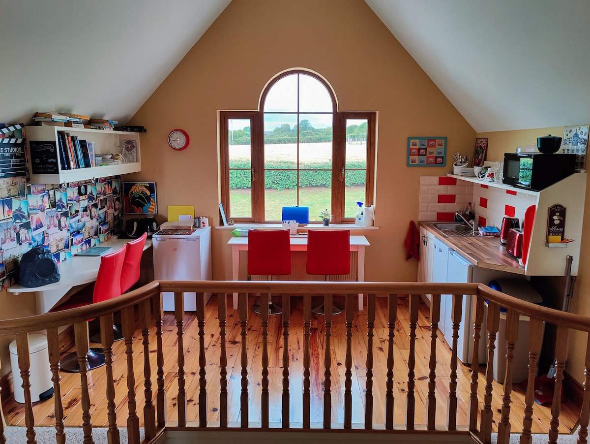 Ballinacurra WoodWood · 1.7 mi
 Battle of KinsaleMajor battlefield · 1.9 mi
 Graveyard in Abbey-Lands, Part of (kinsale By., Ringcurran Par.)Graveyard · 1.9 mi