What is recorded here
Kilmore’s fairy fort is a broken earthen ring where farm machinery still cuts through the eastern gap, proving the land remains useful rather than frozen. The scarp rises barely a metre, yet it holds its shape against grass and weather because people kept returning to the slope. That repeated entry may have belonged to neighbours, traders or tenants, but the ring still marks the place where human life bent the earth and left it behind.
In pasture, on S-facing slope. Circular area (28.9m N-S; 30m E-W) defined by scarped edge (H 0.9m; Wth 1.95m), best preserver ESE->W. A number of trees grow along scarp. Gap in scarp (Wth 3m) at E used by farm machinery to access interior. Interior, under pasture, slopes down towards centre.
Compiled by: Denis Power
Date of upload: 26 August 2011
The monument record does not grant public access. Check the route and ask the landowner before entering private land.
- What survives
- Recorded monument
Places near here
 Enclosure in CoolrusEnclosure · 534 yd
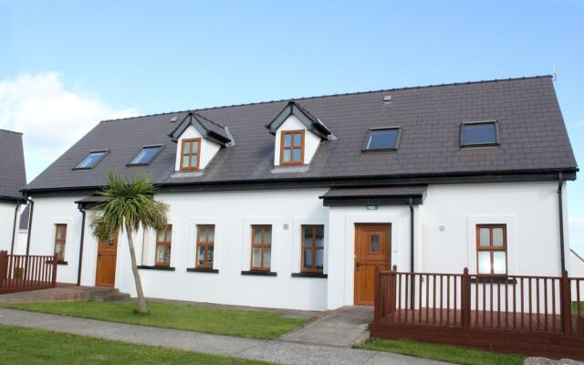 Enclosure in KilmoreEnclosure · 687 yd
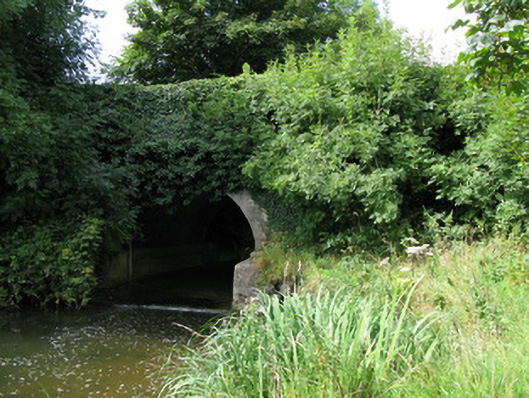 bridgebridge · 1230 yd
 Kilmore Housecountry house · 1391 yd
 Castle (in ruins)Castle, unclassified · 2.0 mi
 Bruree Castle Lower (in ruins)Castle, Anglo-Norman masonry castle · 3.2 mi
 KnockfeerinaMountain / peak · 3.3 mi
 Famine stoneMemorial · 3.9 mi
 Saint Derivla's WellSpring · 4.1 mi
 European ashEuropean ash · 4.1 mi
 Kinnoor WellSpring · 4.2 mi
 Biodiversity in the Maigue CatchmentVisitor information · 4.5 mi