What is recorded here
Fairy fort / earthen ringfort in Kilmacteige is a fairy fort or earthen ringfort in Kilmacteige, County Sligo, Ireland. The possible rath sits on the SE-facing slope of a low rise in pasture, though levelling removed its northern half. A twenty-six metre arc of a one-point-two-five metre scarp remains visible across the south, while a linear field boundary cuts through the northeast. The 1838 and 1914 Ordnance Survey maps recorded the embanked circular area before modern changes altered its shape.
In pasture, on the SE-facing slope of a low rise. This possible rath has been levelled and the S half of it is evident as an arc (C 26m) of scarp (H 1.25m) E-W but the N half is not visible at ground level. A linear field boundary truncates the NE arc. Indicated on the 1838 OS 6-inch map as an embanked circular area (diam. c. 30m) and on the 1914 OS 6-inch map as a penannular arc of hachures showing a raised area (diam. c. 25m).
The above description is derived from the published 'Archaeological Inventory of County Sligo' compiled by Ursula Egan, Elizabeth Byrne, Mary Sleeman with Sheila Ronan and Connie Murphy (Dublin Stationery Office, 2005).
Date of upload: 18 January 2008
The monument record does not grant public access. Check the route and ask the landowner before entering private land.
- What survives
- Recorded monument
Places near here
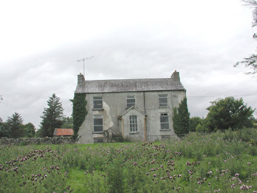 The Gleberectory/glebe/vicarage/curate's house · 249 yd
 Indicated (1838).Fairy fort / earthen ringfort · 313 yd
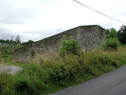 handball alleyhandball alley · 447 yd
 Tober KeerannHoly well · 722 yd
 Castle (in Ruins)Castle, tower house · 913 yd
 Castle Carragh in RuinsCastle, unclassified · 3.5 mi
 KnockasliggaunMountain / peak · 3.8 mi
 Lough Talt TrailVisitor information · 4.0 mi
 Carrick WoodWood · 4.8 mi
 Largan HillMountain / peak · 4.8 mi
 HawthornHawthorn · 4.8 mi
 Hennigan's Heritage CentreHeritage attraction · 4.9 mi