
What is recorded here
In a hollow covered with overgrowth, beside a stream. This is a spring well, with the surrounding ground poached by cattle. There is no evidence of recent veneration here. According to Wood-Martin (1892, 357), a small ash tree beside 'Tubber-Keeran, or St. Keeran's-well', is covered in rags and frequented by country people for many reasons but mainly by 'farmers wives and daughters whose cows are sick or not producing as much butter as they expected'. Pilgrimage to the well was on the last Sunday in July with a procession from Kilmacteige church (SL036-021001-), c. 200m to S, to the well where three circles of the Rosary were said (ITA). The origin of the name Keerann may come from the Irish for mountain ash 'Caerthain, pronounced caraun' or from a corruption of Tubber Ciaran, well of Ciaran (O'Rorke [1889], vol. 2, 152). According to Wood-Martin (1892, 357, n. 1), there were possible bullaun stones (see SL036-021006-) close to the well.
The above description is derived from the published 'Archaeological Inventory of County Sligo' compiled by Ursula Egan, Elizabeth Byrne, Mary Sleeman with Sheila Ronan and Connie Murphy (Dublin Stationery Office, 2005).
Date of upload: 18 January 2008
Tober Keerann is associated with Saint Keerann, a lesser-known early Irish saint linked to local healing traditions. The well was historically visited for its supposed curative properties, particularly for ailments of the eyes and skin, and was likely a site of seasonal rituals and offerings.
The monument record does not grant public access. Check the route and ask the landowner before entering private land.
- What survives
- Recorded monument
Places near here
 Church in KilmacteigeChurch · 201 yd
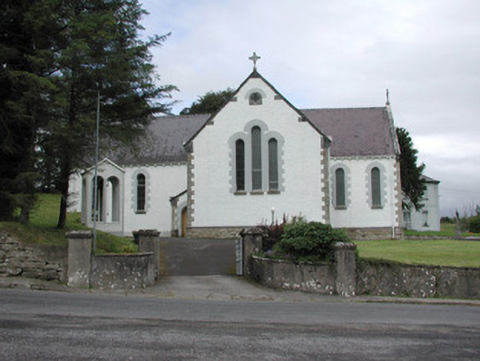 Catholic Church of Our Lady of the Rosarychurch/chapel · 250 yd
 CashelbawnFairy fort / stone ringfort · 475 yd
 Indicated (1838).Fairy fort / earthen ringfort · 552 yd
 Castle (in Ruins)Castle, tower house · 1357 yd
 Castle Carragh in RuinsCastle, unclassified · 3.2 mi
 KnockasliggaunMountain / peak · 3.4 mi
 Lough Talt TrailVisitor information · 3.6 mi
 Largan HillMountain / peak · 4.4 mi
 Carrick WoodWood · 4.5 mi
 New WoodWood · 5.1 mi
 Mass RockNamed rock · 5.1 mi
Other information
Photo: Credit not shown in the picture search · Rights wording not checked; contact us if this picture should be removed