What is recorded here
Fairy fort / earthen ringfort in Kilmacteige is a fairy fort or earthen ringfort in Kilmacteige, County Sligo, Ireland. The surviving northwest quadrant of a twenty-metre rath sits on a gentle south-facing slope, where an eighty-centimetre scarp abuts a straight garden hedge to form a D-shaped raised area. A flat-bottomed waterlogged fosse four and a half metres wide runs along the base of the scarp, preserving the boundary of the ancient earthwork.
On a gentle S-facing slope. An arc of scarp (H 0.8m) SW-NE abuts a straight garden hedge at SE, to form a D-shaped raised area (dims. 9m NW-SE; straight side L 25m NE-SW). There is an external flat-bottomed waterlogged fosse (Wth 4.5m; D c. 0.3m) at the base of the scarp. The remains are that of the NW quadrant of a rath (diam. c. 20m) which is visible in an aerial photograph (GSIAP, G 233-2).
The above description is derived from the published 'Archaeological Inventory of County Sligo' compiled by Ursula Egan, Elizabeth Byrne, Mary Sleeman with Sheila Ronan and Connie Murphy (Dublin Stationery Office, 2005).
Date of upload: 18 January 2008
The monument record does not grant public access. Check the route and ask the landowner before entering private land.
- What survives
- Recorded monument
Places near here
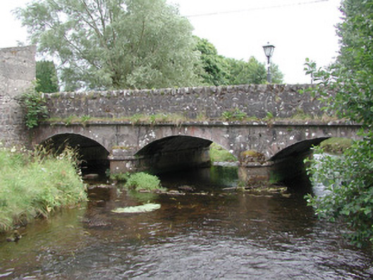 bridgebridge · 364 yd
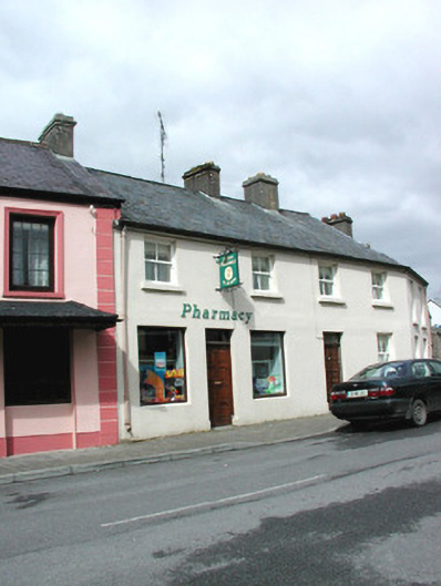 shop/retail outletshop/retail outlet · 464 yd
 LisleaFairy fort / earthen ringfort · 1423 yd
 Tober KeerannHoly well · 1618 yd
 Castle (in Ruins)Castle, tower house · 1.3 mi
 Castle Carragh in RuinsCastle, unclassified · 3.0 mi
 Lough Talt TrailVisitor information · 4.0 mi
 KnockasliggaunMountain / peak · 4.2 mi
 Carrick WoodWood · 4.4 mi
 New WoodWood · 4.9 mi
 Largan HillMountain / peak · 5.0 mi
 Mass RockNamed rock · 5.2 mi