What is recorded here
Marked on all OS eds. An earlier report (OPW 1969) recorded a raised circular area (int. dims. 34m NNW-SSE; 33.4m ENE-WSW) enclosed by traces of a low earthen bank. Apart from a curve in the field boundary at WNW there are no visible remains at ground level.
The above description is derived from the published 'Archaeological Inventory of County Cavan' (Dublin: Stationery Office, 1995). In certain instances the entries have been revised and updated in the light of recent research.
Date of upload/revision: 22 December 2008
A local fairy fort (ringfort/rath); wider significance not recorded.
This remains an important historical record, but the official description says the monument is no longer visible or has been destroyed. The monument record does not grant public access. Check the route and ask the landowner before entering private land.
- What survives
- No visible remains or recorded as destroyed
Places near here
 Giants GraveArchaeological place · 382 yd
 Derryragh FortHilltop enclosure · 613 yd
 IndicatedCastle, tower house · 1216 yd
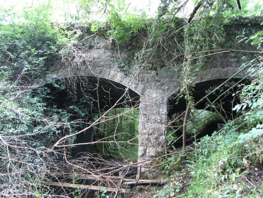 Killyran Bridgebridge · 1392 yd
 Common LimeCommon Lime · 1.1 mi
 SycamoreSycamore · 1.2 mi
 Saint Mogue's IslandIslet · 1.2 mi
 RuinChurch · 1.2 mi
 CastleCastle, ringwork · 1.3 mi
 Tober PatrickHoly well · 1.5 mi
 DerrynigginMountain / peak · 1.7 mi
 Killycluggin StoneVisitor information · 1.9 mi