
What is recorded here
Marked on all OS eds. Rectangular water-filled trench (L 6m; Wth 2.1m) aligned NW-SE (D 0.3m - 1.1m). There are a number of boulders and large stones in the vicinity of the well which function as stations (local information). Patterns are held here annually at the end of July (local information).
The above description is derived from the published 'Archaeological Inventory of County Cavan' (Dublin: Stationery Office, 1995). In certain instances the entries have been revised and updated in the light of recent research.
Date of upload/revision: 22 December 2008
Linked to Saint Patrick, the well is traditionally associated with healing and pilgrimage, with the surrounding stones used for ritual walking or prayer. Local informants suggest the site was historically visited for physical cures, particularly for ailments of the eyes and joints.
The monument record does not grant public access. Check the route and ask the landowner before entering private land.
- What survives
- Recorded monument
Places near here
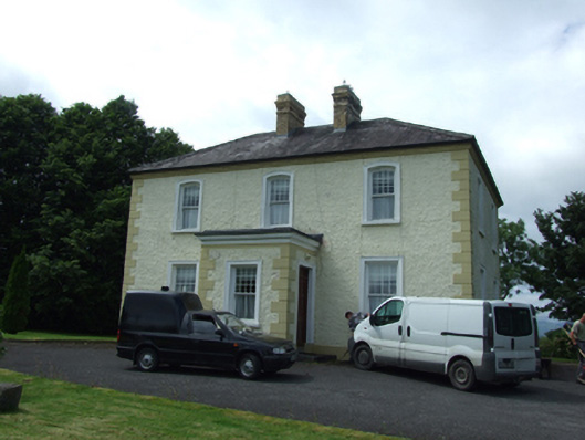 The Presbyterypresbytery/parochial/curate's house · 289 yd
 Saint Patrick's Catholic Churchchurch/chapel · 319 yd
 Killycluggin StoneVisitor information · 887 yd
 IndicatedHilltop enclosure · 1109 yd
 ToberlyanHoly well · 1302 yd
 LissanoverCastle, unclassified · 1614 yd
 Killarah ForestForest · 1.1 mi
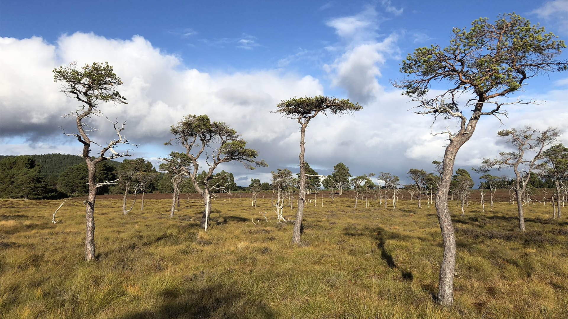 Derrycassan Bog WoodlandWood · 1.3 mi
 Bellaheady MountainMountain / peak · 1.3 mi
 Giants GraveArchaeological place · 1.3 mi
 Saint Mogue's IslandIslet · 1.5 mi
 Bilberry HillMountain / peak · 2.3 mi
Other information
Photo: Credit not shown in the picture search · Rights wording not checked; contact us if this picture should be removed