
What is recorded here
Not marked as an antiquity on any OS ed. but known locally as a 'fort'. Oval area (int. dims. c. 160m NE-SW; 100m NW-SE) enclosed by a low earthen bank and a wide, shallow fosse, both of which have been modified and incorporated into the field boundary, the area NE of which has been levelled leaving nothing visible at ground level. The site is divided into two roughly equal portions by a field boundary running NW-SE. Original entrance not recognisable.
The above description is derived from the published 'Archaeological Inventory of County Cavan' (Dublin: Stationery Office, 1995). In certain instances the entries have been revised and updated in the light of recent research.
Date of upload/revision: 22 December 2008
A local fairy fort (ringfort/rath); wider significance not recorded.
The monument record does not grant public access. Check the route and ask the landowner before entering private land.
- What survives
- Recorded monument
Places near here
 ToberlyanHoly well · 506 yd
 Killarah ForestForest · 913 yd
 Tober PatrickHoly well · 1109 yd
 Bellaheady MountainMountain / peak · 1316 yd
 Ballyconnell Log CabinsForest · 1345 yd
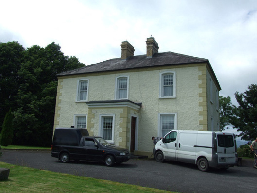 The Presbyterypresbytery/parochial/curate's house · 1395 yd
 Saint Patrick's Catholic Churchchurch/chapel · 1407 yd
 Killycluggin StoneVisitor information · 1512 yd
 LissanoverCastle, unclassified · 1.4 mi
 Bilberry HillMountain / peak · 1.7 mi
 Giants GraveArchaeological place · 1.8 mi
 Saint Mogue's IslandIslet · 2.1 mi
Other information
Photo: Credit not shown in the picture search · Rights wording not checked; contact us if this picture should be removed