What is recorded here
Situated on the summit on a NE-SW drumlin ridge. This is a circular grass-covered area (diam. 50m E-W; 48m N-S) defined by an overgrown earthen bank (at SE: Wth of base 7.2m; Wth of top 1.6m; int. H 1.3m; ext. H 3m) E-SSW and WNW-N and by a complete outer fosse (Wth of top 2.7-3m; D 1.2m) that is bounded by a field bank WSW-N-E. The entrance (Wth of base 2.5m) and causeway (Wth of top 3.2m; H 1.4m) are at SSE.
The above description is derived from the published 'Archaeological Inventory of County Monaghan' (Dublin: Stationery Office, 1986). In certain instances the entries have been revised and updated in the light of recent research.
Revised by: Michael Moore
Date of revision: 20 June 2018
A fairy fort or earthen ringfort in Killynenagh is a circular, grass-covered enclosure with an earthen bank, likely dating to the early medieval period as a defensive or ritual site. Local folklore may associate it with fairy legend, as suggested by its common name.
The monument record does not grant public access. Check the route and ask the landowner before entering private land.
- What survives
- Recorded monument
Places near here
 BarrowBarrow, ring-barrow · 474 yd
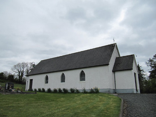 Corrinshigo Catholic Churchchurch/chapel · 685 yd
 IndicatedFairy fort / earthen ringfort · 955 yd
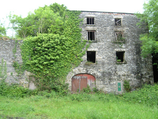 Coppanagh Millsmill (water) · 1232 yd
 BarraghMountain / peak · 1558 yd
 Embanked enclosureBawn · 1.9 mi
 Bawn in DrumsheilBawn · 2.3 mi
 LattacrossanMountain / peak · 2.4 mi
 Whitelough PlantationsForest · 2.5 mi
 Church WoodForest · 2.7 mi
 Giant's GraveArchaeological place · 3.3 mi
 Enclosure in Corrinshigo (cremorne By)Enclosure · 968 yd