What is recorded here
Located on top of a small drumlin. This is a grass and rush-covered circular platform (diam. 31m N-S; 28.5m E-W; H 0.3m) defined by an overgrown earthen bank (Wth 3.9m; ext. H 0.55m) at S which is reduced to a scarp (H 0.4m) elsewhere, and an external fosse (Wth of base 1.2m; D 0.1m) which is largely represented by a band of rushes. The original entrance is not identified, and the monument is surrounded by field banks.
The above description is derived from 'The Archaeological Inventory of County Leitrim' compiled by Michael J. Moore (Dublin: Stationery Office, 2003). In certain instances the entries have been revised and updated in the light of recent research.
Date of upload: 23 September 2008
The monument record does not grant public access. Check the route and ask the landowner before entering private land.
- What survives
- Recorded monument
Places near here
 Fairy fort / earthen ringfort in AgharannFairy fort / earthen ringfort · 786 yd
 Holy well in KillyfeaHoly well · 903 yd
 Saint Columba's Church (Drumreilly)church/chapel · 1.8 mi
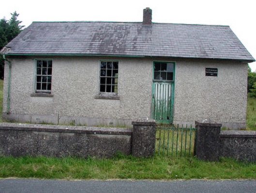 Gortachoosh National Schoolschool · 1.9 mi
 King's GraveArchaeological place · 3.2 mi
 European YewEuropean Yew · 3.4 mi
 Swan Island pet farmHeritage attraction · 3.7 mi
 DrummuckerMountain / peak · 3.8 mi
 Pedunculate OakPedunculate Oak · 4.0 mi
 DrumbreanlisMountain / peak · 4.2 mi
 Crane IslandIslet · 4.2 mi
 BatteryBawn · 4.2 mi