What is recorded here
Fairy forts are human places misnamed because people stopped remembering the hands that built them. In Killyclessy, a worn oval bank still marks a small fortified life: narrow entrance, inside rooms or shelters, and a hidden passage that may have let someone leave without being seen. The fairies inherit what humanity forgets.
The following description is derived from both the published 'Archaeological Inventory of County Louth' (Dublin: Stationery Office, 1986) and the 'Archaeological Survey of County Louth' (Dublin: Stationery Office, 1991). In certain instances the entries have been revised and updated in the light of recent research.
Date of upload/revision: 17 July 2007
Oval area (int. dims. 30m NNW-SSE, 22m WSW-ENE) enclosed by much-degraded earthen bank (Wth 4.5m, H 0.7m internally) now reduced to a scarp in places. No visible trace of fosse. Possible entrance gap (Wth 0.6m) at SE. Possible Man-made underground passage (LH006-004002-) in interior. A complex of low banks in N-NE quadrant of the interior is of uncertain significance.
This remains an important historical record, but the official description says the monument is no longer visible or has been destroyed. The monument record does not grant public access. Check the route and ask the landowner before entering private land.
- What survives
- No visible remains or recorded as destroyed
Places near here
 Man-made underground passage in CarrickykellyMan-made underground passage · 638 yd
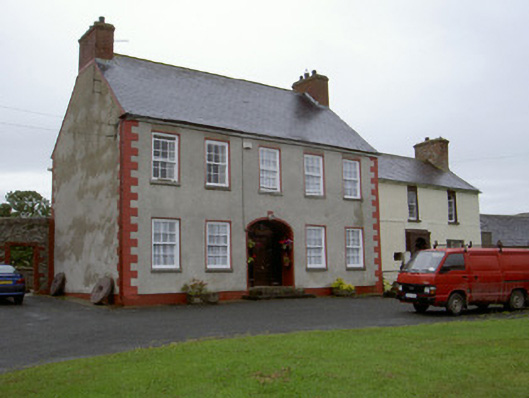 Clonaleenaghan Househouse · 1132 yd
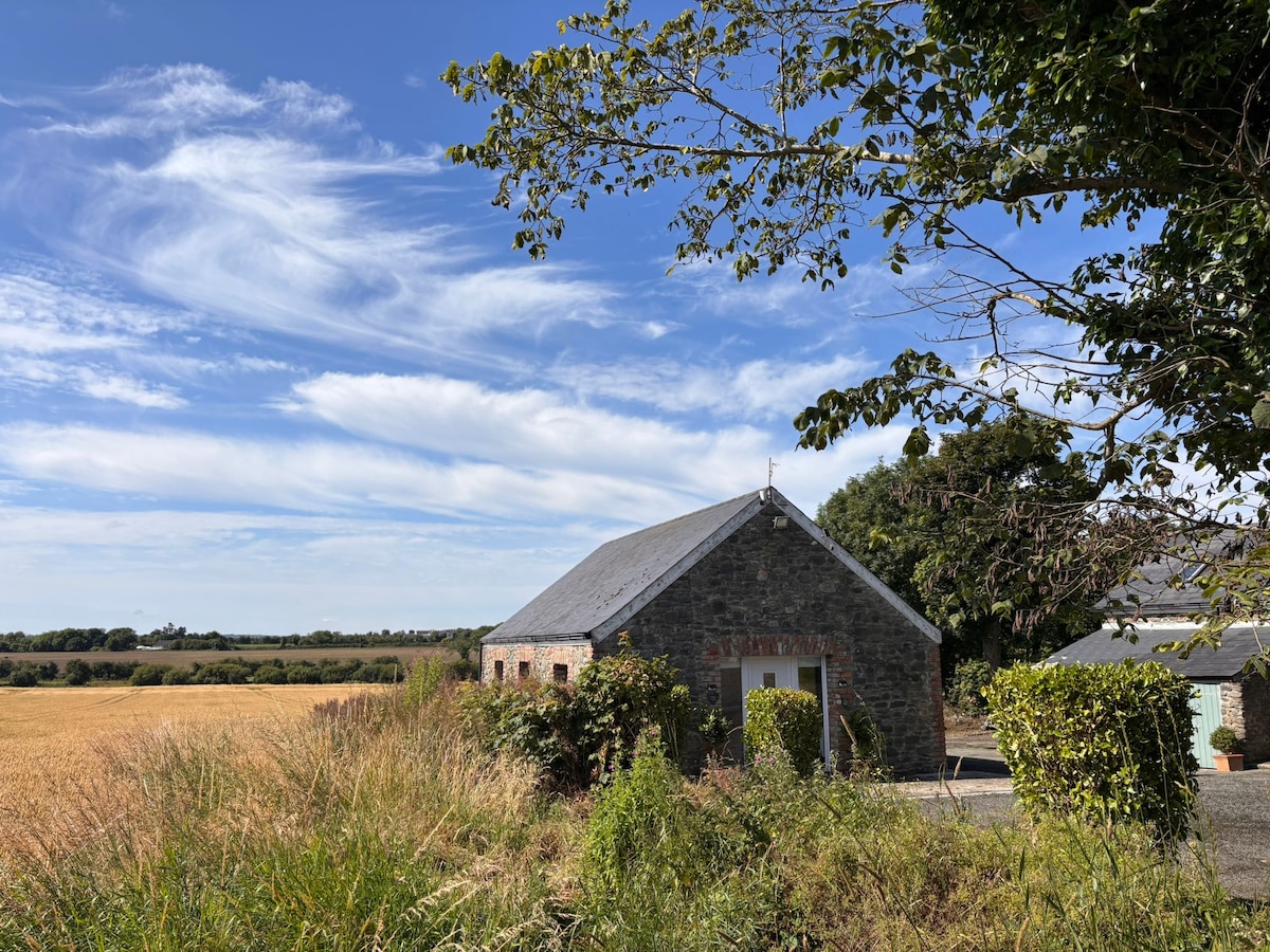 Enclosure in AnnaghvackyEnclosure · 1605 yd
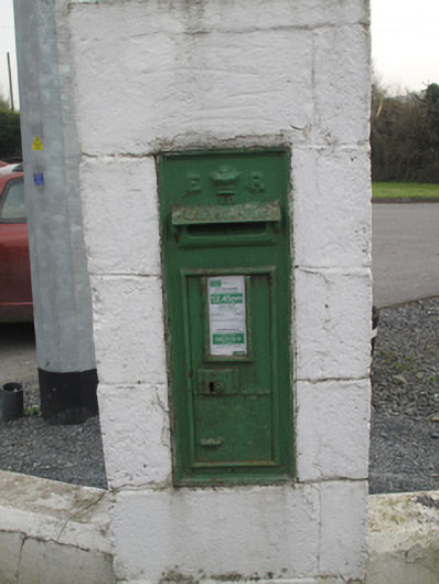 post boxpost box · 1.4 mi
 CastleCastle, unclassified · 1.9 mi
 Bawn in Shortstone EastBawn · 2.9 mi
 Ballsmill Amenity LandPicnic place · 3.8 mi
 Sky HillMountain / peak · 4.0 mi
 MEDIEVAL & POST-MED. CHURCH & GRAVEYARD in Creggan Bane GlebeMEDIEVAL & POST-MED. CHURCH & GRAVEYARD · 4.4 mi
 Battle of Newry Roadbattle · 4.6 mi
 KnockreaghMountain / peak · 5.6 mi
 Mass Rock Loop TrailWalking route · 5.7 mi