What is recorded here
Killybressal is an earthen ringfort destroyed around 1900 in a field still called the fort field. People may have lived inside its circular wall before ploughs and progress erased the ridge, leaving only a name and a local story behind. The land remembers the shape even when the soil no longer shows it.
Situated on a local rise. The School’s Manuscripts collection lists a fort at Killybressal, for which see this web-page accessed on 23/06/2017: http://www.duchas.ie/en/cbes/4742068/4732323 It is known locally that a ringfort was destroyed c. 1900 in the ‘fort field’, which is still pointed out at Killybressal, but no archaeological feature is visible at ground level, and the precise location is not known.
The above description is derived from the published 'Archaeological Inventory of County Monaghan' (Dublin: Stationery Office, 1986). In certain instances the entries have been revised and updated in the light of recent research.
Date of revision: 19 October 2011
Revised by: Claire Breen
According to local information (Irish Folklore Commission Schools' Manuscripts 959 377), ringfort stood here formerly.
This remains an important historical record, but the official description says the monument is no longer visible or has been destroyed. The monument record does not grant public access. Check the route and ask the landowner before entering private land.
- What survives
- No visible remains or recorded as destroyed
Places near here
 IndicatedFairy fort / earthen ringfort · 588 yd
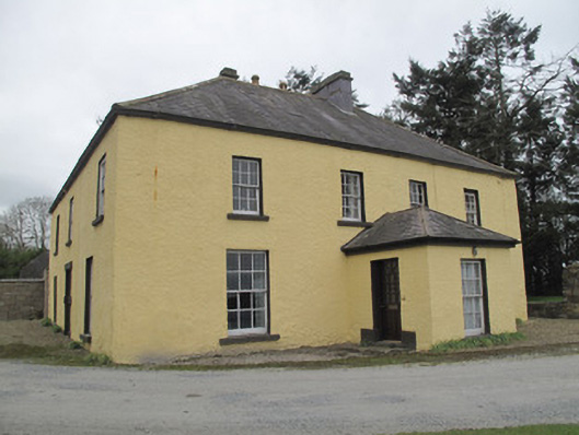 Dungillick Househouse · 649 yd
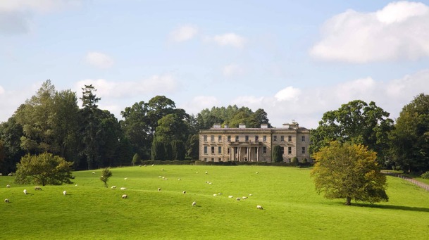 Hilltop enclosure in LenaghHilltop enclosure · 1092 yd
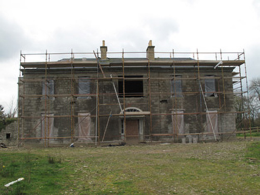 Fort Singletonhouse · 1326 yd
 Emyvale Heritage TrailVisitor information · 1.2 mi
 St. Muadain's WellSpring · 2.5 mi
 Coolberrin HillMountain / peak · 3.4 mi
 Sitka SpruceSitka Spruce · 4.2 mi
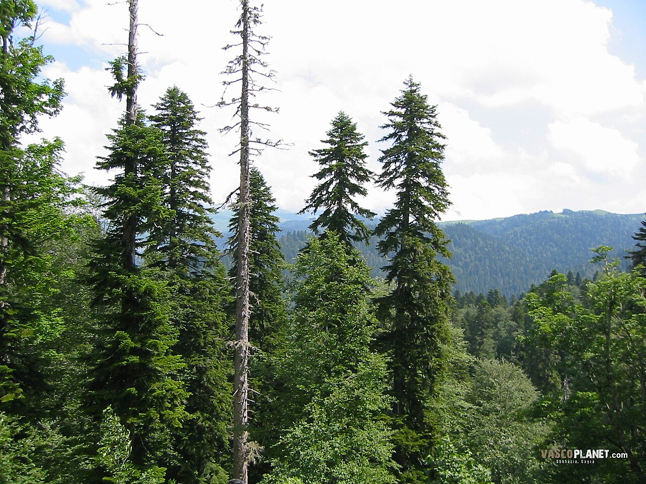 Caucasian FirCaucasian Fir · 4.2 mi
 Harry LaveryMemorial · 4.6 mi
 Sliabh Beagh WayWalking route · 4.7 mi
 RAVELLA CASTLE:HOUSE AND BAWN in RavellaRAVELLA CASTLE:HOUSE AND BAWN · 4.7 mi