What is recorded here
Killowen held a twenty-eight-metre ringfort on a ridge shoulder, watching south, west and north until men levelled it in 1972. The earth bank and outer ditch vanished into pasture, but the shape remained in map lines drawn since 1842. It may have guarded a small church, marked by a square structure on the eastern bank, or simply given people a circle where the wide sky met solid ground.
In pasture, on W shoulder of ridge, commanding extensive views to S, W and N. Depicted as hachured circular enclosure (diam. c. 28m) on 1842, 1904 and 1936 OS 6-inch maps; small square structure abuts outer face of ESE bank on 1842 OS 6-inch map. No visible surface trace of site; according to local information, levelled in 1972 and consisted of circular area enclosed by bank and external fosse. Bowman (1934, 136) recorded 'circular fence....diam. 28 yards', enclosing site of early church (CO014-09402-).
The above description is derived from the published 'Archaeological Inventory of County Cork. Volume 4: North Cork' (Dublin: Stationery Office, 2000). In certain instances the entries have been revised and updated in the light of recent research.
Date of upload/revision: 14 January 2009
The monument record does not grant public access. Check the route and ask the landowner before entering private land.
- What survives
- Recorded monument
Places near here
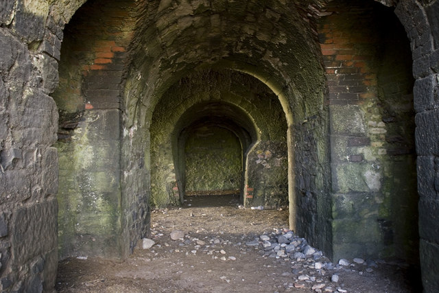 KilnKiln, lime · 948 yd
 Church in Garraunawarrig UpperChurch · 1151 yd
 Stanner's Glen, Priory WoodWood · 1668 yd
 CastleCastle, unclassified · 1.1 mi
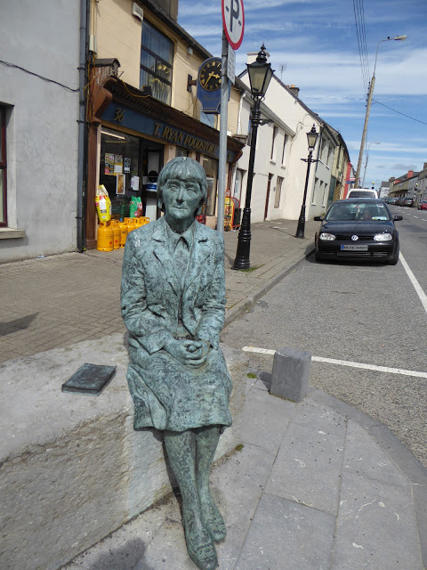 Alice Taylor MonumentMonument · 1.1 mi
 Carrig Castle (Site of)Castle, unclassified · 1.3 mi
 Enclosure in LongacreEnclosure · 1.5 mi
 Hanna SheehyMemorial · 4.3 mi
 Kanturk CastleHeritage attraction · 5.2 mi
 KnockacummerMountain / peak · 5.6 mi
 TaurMountain / peak · 6.3 mi
 Burial ground in AssolasBurial ground · 6.7 mi