
What is recorded here
Bowman (1934, 178) recorded a 'church site and burial ground (14096) in Mr Kenny's land. No sign of either there now'. Exact location not known locally. May be small triangular area (c. 15m NW-SE; c.10m NE-SW) at junction of two roads enclosed by earthen field fence (H 1.1m) which is never cultivated.
The above description is derived from the published 'Archaeological Inventory of County Cork. Volume 4: North Cork' (Dublin: Stationery Office, 2000). In certain instances the entries have been revised and updated in the light of recent research.
Date of upload/revision: 14 January 2009
The monument record does not grant public access. Check the route and ask the landowner before entering private land.
- What survives
- Recorded monument
Places near here
 farmyard complexfarmyard complex · 327 yd
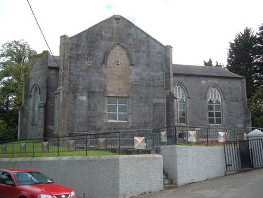 Christ Churchchurch/chapel · 675 yd
 CastleCastle, unclassified · 863 yd
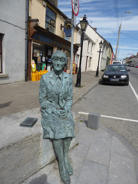 Alice Taylor MonumentMonument · 1017 yd
 Enclosure in LongacreEnclosure · 1509 yd
 Stanner's Glen, Priory WoodWood · 1.4 mi
 Castle McAuliffe (Site of)Castle, unclassified · 1.8 mi
 Hanna SheehyMemorial · 4.2 mi
 Kanturk CastleHeritage attraction · 5.0 mi
 KnockacummerMountain / peak · 5.7 mi
 TaurMountain / peak · 6.1 mi
 Burial ground in AssolasBurial ground · 6.7 mi
Other information
Photo: Credit not shown in the picture search · Rights wording not checked; contact us if this picture should be removed