What is recorded here
You can still picture the fort at Killinawas because a survey drawn in 1837 caught its circular line before the land took it back. That line has since softened into a low smear of earth and stone at the north end of the hill, perhaps marked by a road, a field or a forgotten house. What remains is a place where shape has been erased but identity has not, inviting you to imagine the lives that moved inside a boundary no one can longer point to.
At the N end of a low hill. Depicted as a circular enclosure with the designation 'Fort' on the 1837 ed. of the OS 6-inch map. The monument has been levelled. Apart from a low, irregular spread of earth and stone, it is not visible at ground level.
Compiled by: Patrick F. O'Donovan
Date of upload: 26 August 2011
The monument record does not grant public access. Check the route and ask the landowner before entering private land.
- What survives
- Recorded monument
Places near here
 IndicatedFairy fort / earthen ringfort · 692 yd
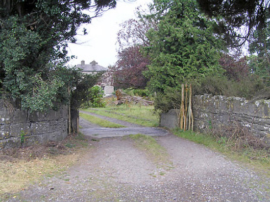 Cartroncar Housegates/railings/walls · 827 yd
 Enclosure in Tully (granard By.)Enclosure · 1328 yd
 Moat & FortCastle, motte and bailey · 1421 yd
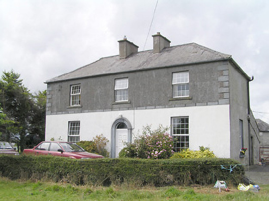 Firmount Housesteward's house · 1422 yd
 RuinsCastle, unclassified · 1.2 mi
 Clonfin Ambush MemorialMemorial · 1.6 mi
 Ballinalee Forest WalkForest · 3.7 mi
 Bully's Acregraveyard/cemetery, unknown · 4.0 mi
 Granard MotteMotte-and-bailey castle remains · 4.3 mi
 1798 Monumentmonument · 4.4 mi
 CartronfreeMountain / peak · 7.3 mi