What is recorded here
Killinawas holds a faded earthen ring on a prominent hillock, its low bank and shallow ditch marking a boundary people crossed deliberately. The northwest gap and causeway still invite entry into the oval pasture, suggesting the fort remained a lived landscape rather than a forgotten ruin. Two unidentifiable mounds once occupied the centre, perhaps shelters, heaps or ceremony, but time has erased their purpose. The site resists final explanation, preserving only the shape of human presence and the patience of earth.
On a low but prominent hillock in pasture. A raised oval area (32.4m E-W; 22.9m N-S) enclosed by a low bank of earth and stone (Wth 5.6m; H 0.55m max.) with a shallow intervening fosse (Wth 1.9m; D 0.4m) and a low outer bank (Wth 2.3m; H 0.1m). Both the fosse and the outer bank are identifiable only from WNW-N-E. A break (Wth 3.25m) in the bank at NW with an accompanying causeway marks the original entrance. A report in 1975 (SMR file) recorded two low mounds of earth and stone, of unknown significance, close to the centre of the interior, neither of which is identifiable.
Compiled by: Patrick F. O'Donovan
Date of upload: 26 August 2011
The monument record does not grant public access. Check the route and ask the landowner before entering private land.
- What survives
- Recorded monument
Places near here
 IndicatedFairy fort / earthen ringfort · 902 yd
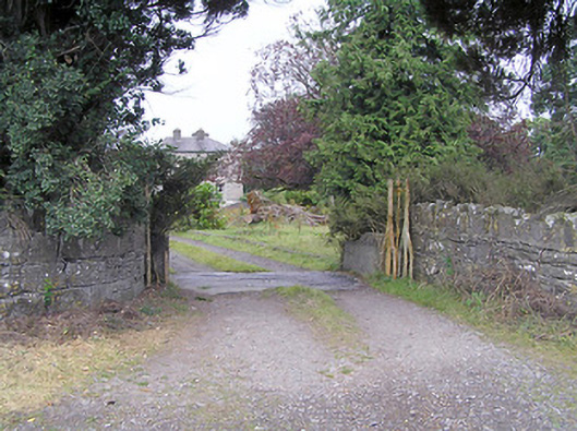 Cartroncar Housegates/railings/walls · 1039 yd
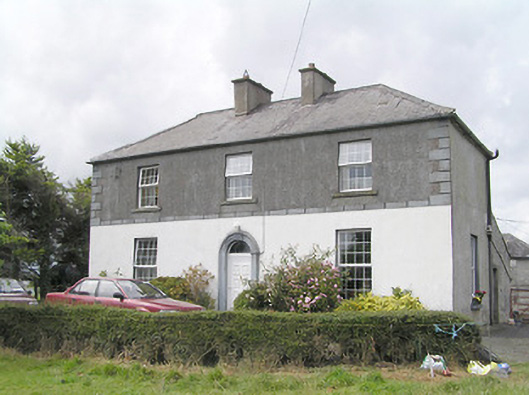 Firmount Housesteward's house · 1218 yd
 Moat & FortCastle, motte and bailey · 1252 yd
 Enclosure in Tully (granard By.)Enclosure · 1539 yd
 RuinsCastle, unclassified · 1.1 mi
 Clonfin Ambush MemorialMemorial · 1.6 mi
 Ballinalee Forest WalkForest · 3.6 mi
 Bully's Acregraveyard/cemetery, unknown · 4.0 mi
 Granard MotteMotte-and-bailey castle remains · 4.4 mi
 1798 Monumentmonument · 4.5 mi
 CartronfreeMountain / peak · 7.4 mi