What is recorded here
Situated on the summit of a natural rise with a road adjacent to the E portion. There is a house to the N and S of the site and pasture to the W. The site is very overgrown and the surface is uneven with spoil heaps and quarry-holes in the interior. The present remains consist of an irregular-shaped area (diam. 36.4m N-S) defined by a scarp with a modern gap in the bank at N. Depicted as a roughly circular enclosure on the 1st ed. (1843) OS 6-inch map and as a roughly rectangular enclosure on the 1952-3 ed. with straight sides to the N, S and W while the E side is truncated by a N-S roadway.
The above description is derived from 'The Archaeological Inventory of County Tipperary. Vol. 1 - North Tipperary' compiled by Jean Farrelly and Caimin O'Brien (Dublin: Stationery Office, 2002). In certain instances the entries have been revised and updated in the light of recent research.
Date of upload/revision: 22 September 2008
The monument record does not grant public access. Check the route and ask the landowner before entering private land.
- What survives
- Recorded monument
Places near here
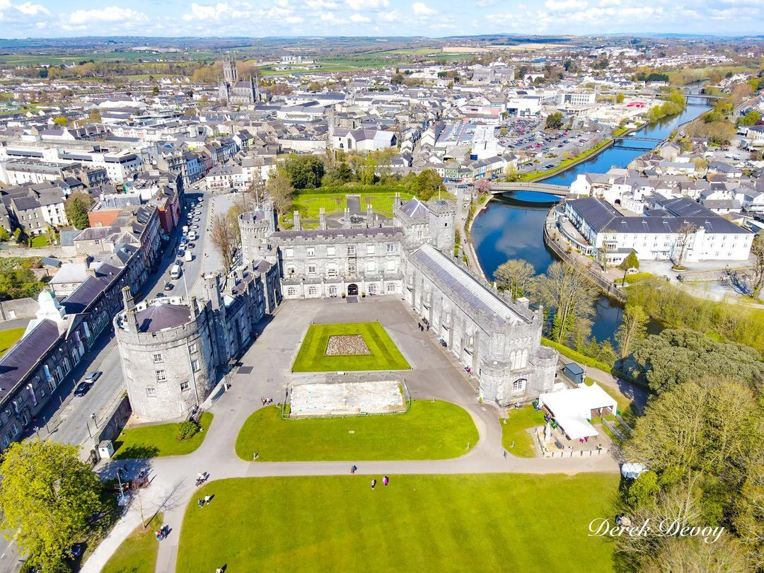 Killinane Castle (in ruins)Castle, unclassified · 203 yd
 Enclosure in KillinaneEnclosure · 1073 yd
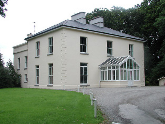 Ardfort Housecountry house · 1.2 mi
 European ashEuropean ash · 1.2 mi
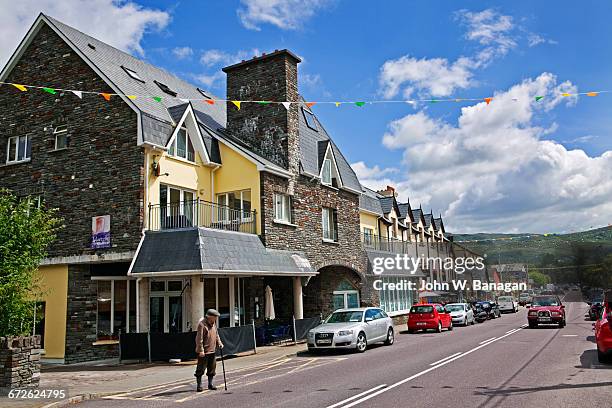 Enclosure in GlengarriffEnclosure · 1.2 mi
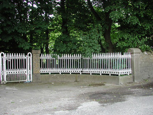 Glengarriff Housegates/railings/walls · 1.2 mi
 Ballynahow CastleCastle · 1.4 mi
 Lár na PáirceMuseum · 1.6 mi
 Pheasant IslandHeritage attraction · 1.7 mi
 WoodlandWood · 2.3 mi
 Pallas HillMountain / peak · 4.5 mi
 KnockaneMountain / peak · 4.8 mi