What is recorded here
Site identified on aerial photograph taken on 3/8/1996 by Michael Moore (ASIAP 43(0,1)). Situated on flat ploughed field with good views in all directions. No surface remains visible, no archaeological features visible in ploughsoil.
From the National Monuments Service (Archaeological Survey of Ireland) record TN041-086
The monument record does not grant public access. Check the route and ask the landowner before entering private land.
- What survives
- Recorded monument
Places near here
 Ballynahow CastleCastle · 1510 ydConcentric enclosure in Beakstown,cormackstownConcentric enclosure · 1.4 mi
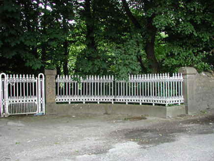 Glengarriff HouseGates/railings/walls · 1.5 miEnclosure in GlengarriffEnclosure · 1.5 mi
 ArdeenHouse · 1.5 mi
 European ash1.7 miCormackstown Heritage CentreMuseum · 1.8 mi
 Black CastleCastle, tower house · 1.9 mi
 Lár na PáirceMuseum · 2.1 miPallas HillMountain / peak · 4.0 miKnockaneMountain / peak · 4.2 miEuropean ash5.0 mi
Pictures: dougf, Wikimedia Commons · CC BY-SA 2.0; National Inventory of Architectural Heritage; Willow, Wikimedia Commons · CC BY 2.5; Mike Searle, Wikimedia Commons · CC BY-SA 2.0; Lár na Páirce Museum, Wikimedia Commons · CC BY 2.0
More archaeology and monuments in County Tipperary · All of County Tipperary
What do you know about this place?