What is recorded here
Situated on a slight natural rise slight with large bog 100m to S and W, and good views of the surrounding countryside. A circular area (diam. 26m) delimited by a poorly preserved earthen bank, almost completely denuded from W-NNW, at NNE and from SE-S, with an external fosse which is best preserved from S-W. The outer edge of the fosse has been defaced by later banks and drains at N, W & S. Possible entrance gap at NNE (Wth 1.4m). The interior is uneven with slight hollows, and has general slight slope towards the centre.
Compiled by: Frank Coyne & Caimin O'Brien
Date of upload: 13 December 2016
The monument record does not grant public access. Check the route and ask the landowner before entering private land.
- What survives
- Recorded monument
Places near here
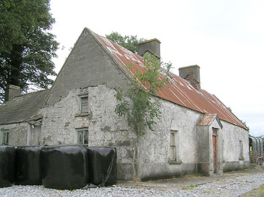 Cornaparkhouse · 1328 yd
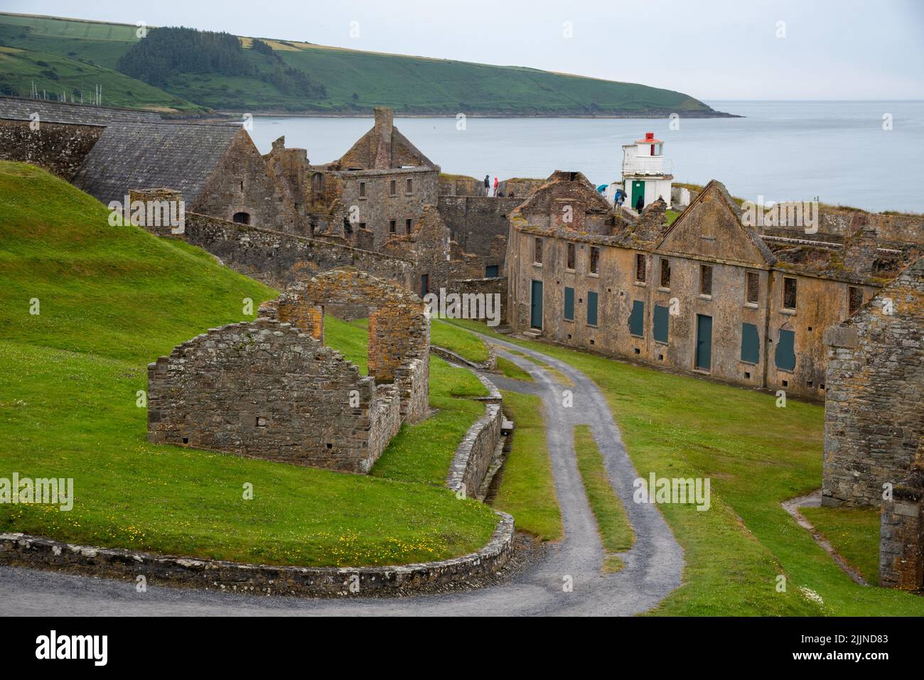 Fort, MoataphucaCastle, motte · 1.1 mi
 Ecclesiastical enclosure in Killeen (ardagh By.)Ecclesiastical enclosure · 1.2 mi
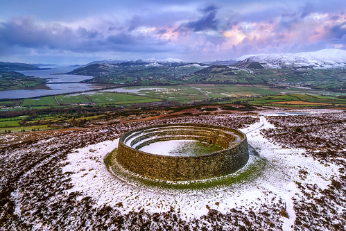 Ancient Ring FortArchaeological place · 1.3 mi
 RoadRoad, class 2 togher · 1.4 mi
 Sweet ChestnutSweet Chestnut · 1.5 mi
 ShawbrookForest · 1.5 mi
 MoatCastle, motte · 1.5 mi
 Edgeworthstown BypassMemorial · 3.2 mi
 Abbeyshrule AbbeyRuins · 5.4 mi
 Granard MotteMotte-and-bailey castle remains · 9.6 mi
 1798 Monumentmonument · 9.7 mi