What is recorded here
Killeheen lost its fairy fort when men levelled the bank, erasing a circular home that once stood beneath a limestone hillock. The earth forgot the shape, but the story remains: a small ring large enough for one life, built where the slope faces the sun. What was removed is not nothing. It is a room the land stopped holding, waiting for someone to remember the shape and build it back in imagination.
In pasture, on SSE-facing slope below brow of limestone hillock, immediately S of public road. Monument, depicted as embanked circular enclosure (diam. c. 20m) on 1923 OS 6-inch map, has been levelled. No trace of monument evident when inspected.
Compiled by: Denis Power
Date of upload: 26 August 2011
The monument record does not grant public access. Check the route and ask the landowner before entering private land.
- What survives
- Recorded monument
Places near here
 BarrowBarrow, ring-barrow · 1463 yd
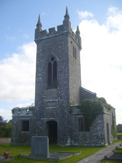 Kilscannell Churchchurch/chapel · 1554 yd
 Grave YardGraveyard · 1562 yd
 Reens Househouse · 1722 yd
 TobernablahySpring · 1758 yd
 St. Kieran's WellSpring · 1.1 mi
 CastleCastle, tower house · 1.5 mi
 Castle MatrixCastle, tower house · 1.6 mi
 European ashEuropean ash · 1.6 mi
 Limerick GreenwayWalking route · 7.4 mi
 Sugar HillMountain / peak · 9.0 mi
 bridgebridge · 1.1 mi