What is recorded here
Situated at a sharp break in a NE-facing slope. Circular area (diam. 32m) defined by an earth and stone bank (Wth 3.5-4.5m; H 1.3-2.5m). Almost the entire E half of the site has been removed while at the N and NW the bank was enhanced when the modern house was erected in the centre of the site. No indication of a fosse or entrance in the surviving portion.
The above description is derived from the published 'Archaeological Inventory of County Wicklow' (Dublin: Stationery Office, 1997). In certain instances the entries have been revised and updated in the light of recent research.
Date of upload/revision: 17 December 2008
This remains an important historical record, but the official description says the monument is no longer visible or has been destroyed. The monument record does not grant public access. Check the route and ask the landowner before entering private land.
- What survives
- No visible remains or recorded as destroyed
Places near here
 Enclosure in KillegarEnclosure · 411 yd
 IndicatedEnclosure · 744 yd
 Glencullen Bridgebridge · 1336 yd
 Springfieldcountry house · 1400 yd
 Ballybetagh WoodForest · 1412 yd
 Barnaslingan HillMountain / peak · 1586 yd
 Barnaslingan - Scalp Lookout TrailWalking route · 1.1 mi
 Barnaslingan - Pine loop trailWalking route · 1.1 mi
 Ballycorus castle Site ofCastle, tower house · 1.4 mi
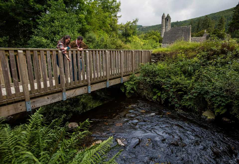 Anacrivey WoodForest · 1.5 mi
 Carrickgollogan HillMountain / peak · 1.7 mi
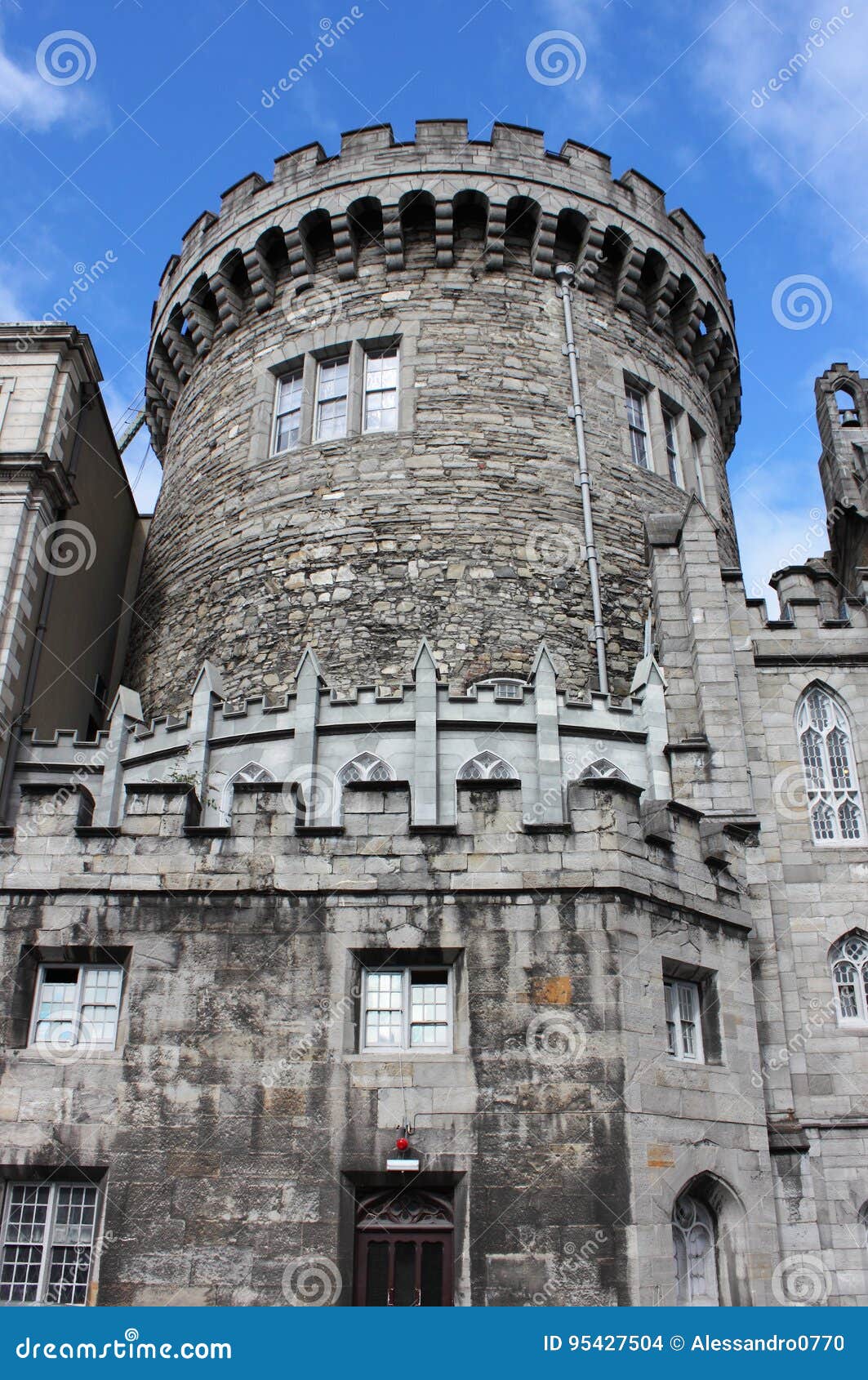 CastleCastle, tower house · 2.0 mi