
What is recorded here
This enclosure is situated in pasture on a S facing slope above the Glencullen River. This site comprises a circular sloped area (int. diam. 18.5m) defined by a low, wide bank of earth and stone (Wth 3.2m; H 0.9-1.2m) revetted with larger boulders against its inner face. There are a number of irregular granite boulders in the interior. The enclosing bank is truncated in the E by a field boundary wall. There is a narrow opening in the W (Wth 1.6m). There is a passage tomb close-by to the N (DU026-042001)(Healy 1975, 1-19)
Compiled by: Geraldine Stout and Padraig Clancy.
Revised upload on: 15 April 2018.
The monument record does not grant public access. Check the route and ask the landowner before entering private land.
- What survives
- Recorded monument
Places near here
 Cairn (site of)Megalithic tomb · 66 yd
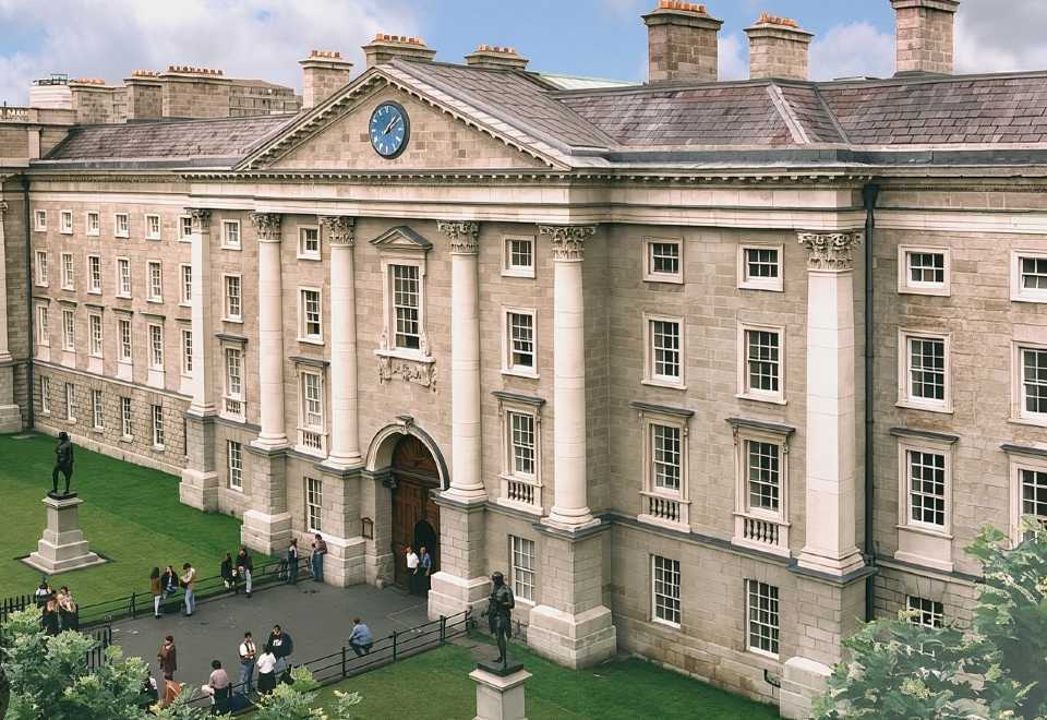 Enclosure in BallybetaghEnclosure · 223 yd
 Ballybetagh WoodForest · 817 yd
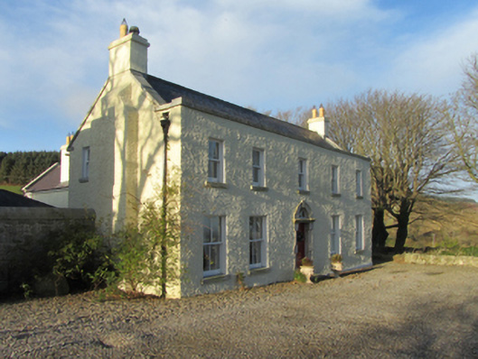 Ballybetagh Housefarm house · 848 yd
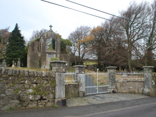 Saint Patrick's Catholic Chapelchurch/chapel · 1163 yd
 Barnaslingan HillMountain / peak · 1606 yd
 Barnaslingan - Scalp Lookout TrailWalking route · 1.0 mi
 Barnaslingan - Pine loop trailWalking route · 1.1 mi
 Ballycorus castle Site ofCastle, tower house · 1.3 mi
 Dingle GlenNature reserve · 1.6 mi
 Carrickgollogan HillMountain / peak · 1.8 mi
 Puck's CastleCastle · 2.0 mi
Other information
Photo: Credit not shown in the picture search · Rights wording not checked; contact us if this picture should be removed