What is recorded here
Killasanowl holds a circular earthen platform twenty-nine metres across, raised seventy centimetres above the gentle SW-facing slope of a broad drumlin. Grass and rushes smother the surface while a flat-bottomed fosse, nearly two metres wide at its base, cuts around the edge with scattered bushes. The original entrance remains unidentified, leaving the fort closed to human memory but perhaps still open to the fairy tale that named it.
Situated on the gentle SW-facing slope of a broad drumlin. This is a grass and rush-covered circular earthen platform (diam. 29m N-S; 29m E-W; H 0.7m) defined by a flat-bottomed fosse (Wth of base 1.9m; ext. D 0.15m) with some bushes. The original entrance is not identified.
The above description is derived from 'The Archaeological Inventory of County Leitrim' compiled by Michael J. Moore (Dublin: Stationery Office, 2003). In certain instances the entries have been revised and updated in the light of recent research.
Compiled by: Michael Moore
Date of revised upload: 15 October 2019
The monument record does not grant public access. Check the route and ask the landowner before entering private land.
- What survives
- Recorded monument
Places near here
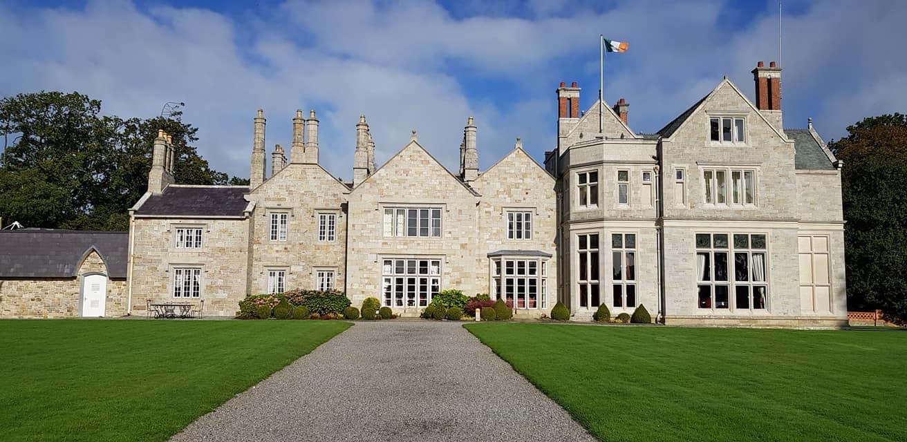 LiscallyroanFairy fort / earthen ringfort · 1074 yd
 Enclosure in Clogher (leitrim By.)Enclosure · 1086 yd
 R. C. ChapelChurch · 1732 yd
 CastlecarraCastle, unclassified · 1.4 mi
 AbbeyChurch · 1.7 mi
 Declaration of IndependenceMemorial · 2.1 mi
 Robert Strawbridge MemorialMemorial · 2.2 mi
 PortCastle, unclassified · 2.4 mi
 Wildlife AreaNature reserve · 2.5 mi
 Shannon-Erne WaterwayVisitor information · 2.8 mi
 Leabaidh DermotCave · 2.8 mi
 Moon RiverHeritage attraction · 2.8 mi