What is recorded here
Killarcan holds a thirty-three-metre earthen ring on a ridge, its broad bank and narrow northern gap waiting for humans who stopped coming. The forest presses close at one edge while the open circle faces the sky, preserving a shape older than memory. Fairy fort sounds like a joke until dusk, when the empty room and hidden ditch suggest it still belongs to someone.
Located towards the SW end of a NE-SW ridge. It is described as a circular area (diam. c. 33m) defined by an earthen bank (Wth 6.5m; int. H 0.6m; ext. H 0.9m) with slight traces of a fosse (Farrelly 1989, vol. 2, 51). The entrance (Wth c. 2.2m) was at N. The monument is still extant and remains unplanted at the SE edge of a forest.
The above description is derived from 'The Archaeological Inventory of County Leitrim' compiled by Michael J. Moore (Dublin: Stationery Office, 2003). In certain instances the entries have been revised and updated in the light of recent research.
Date of revised upload: 2 February 2017
The monument record does not grant public access. Check the route and ask the landowner before entering private land.
- What survives
- Recorded monument
Places near here
 fortsFairy fort / earthen ringfort · 1145 yd
 Enclosure in DrumgeaglomEnclosure · 1552 yd
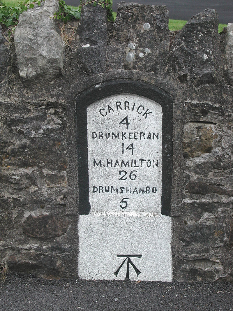 milestone/milepostmilestone/milepost · 1.0 mi
 Shannon-Erne WaterwayVisitor information · 1.1 mi
 Sit of Breifny CastleCastle, tower house · 1.1 mi
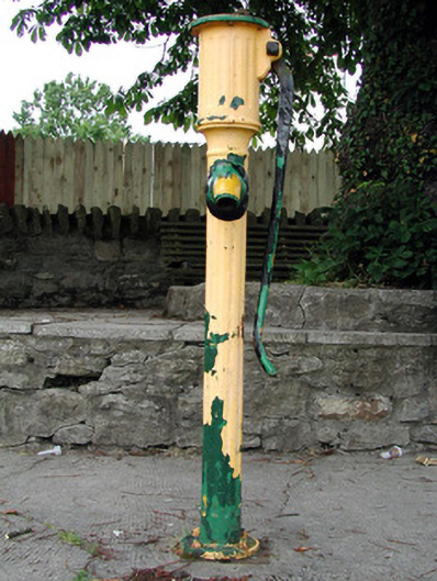 water pumpwater pump · 1.1 mi
 Leabaidh DermotCave · 1.3 mi
 Battle of Áth an Chipbattle · 1.3 mi
 InishnagonIsland · 1.4 mi
 Sheemore Ambush MemorialMonument · 1.7 mi
 PortCastle, unclassified · 2.0 mi
 Derreenargan WoodWood · 3.2 mi