What is recorded here
Killanully holds two hidden ringforts beneath pasture, one spanning forty metres and the other ten, both erased from sight but preserved in old surveys. They likely sheltered people, stored grain or marked territory before forgetting them. The grass still covers sharp edges of human choice, waiting for rain or curiosity to reveal what ownership and time removed.
In pasture, on S-facing slope. Depicted as semi-circular enclosure (c. 40m E-W), extending c. 15m N from field fence running E-W; second hachured irregular enclosure (10m to N of above) extends S from field fence on N side of field. No visible surface trace.
The above description is derived from the published 'Archaeological Inventory of County Cork. Volume 2: East and South Cork' (Dublin: Stationery Office, 1994). In certain instances the entries have been revised and updated in the light of recent research.
Date of upload/revision: 14 January 2009
The monument record does not grant public access. Check the route and ask the landowner before entering private land.
- What survives
- Recorded monument
Places near here
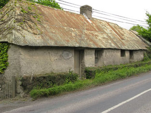 Historic buildingOfficially recorded historic building · 157 yd
 Furnace in KillanullyFurnace · 160 yd
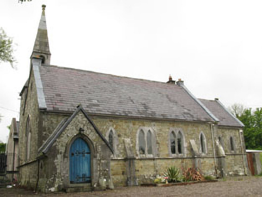 church/chapelchurch/chapel · 315 yd
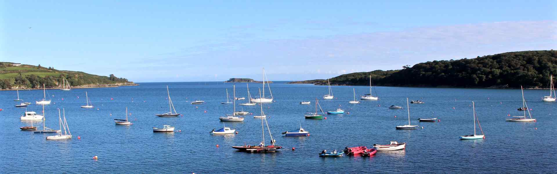 Enclosure in BallygarvanEnclosure · 1412 yd
 Ballea CastleCastle, tower house · 1.1 mi
 Meadstown Castle (Site of)Castle, unclassified · 1.3 mi
 Manx2 Flight 7100aviation accident · 2.1 mi
 Pauper's GraveyardArchaeological place · 2.4 mi
 Graveyard in CurraghconwayGraveyard · 2.9 mi
 Be Framed Fine Art GalleryGallery · 3.5 mi
 Vernon Mount ViewViewpoint · 3.6 mi
 City View SummitViewpoint · 3.7 mi