What is recorded here
In rough, rush-grown pasture, located on top of a ridge named Mullaghahanny on the 1914 OS 6-inch map, close to the SE shoulder of the ridge where ground falls steeply into a small valley. Good views over the slopes of adjacent ridges to S, SW, and NW, with Lough Arrow visible in the middle distance to SW. Broadly oval area (29m N–S; 26m E–W) defined by a levelled bank with a largely infilled external fosse. The flat, featureless interior appears very slightly raised above surrounding field level. The enclosing bank (Wth 3.5-4m; 2m on top; int. H 0.1-0.2m; ext. H 0.5m) is evident as a broad low rise marked by a growth of greener grass. The fosse is visible as a shallow, damp depression (Wth c. 3m; base c. 2m), distinguished by denser rush growth. At SE–WSW the fosse is incorporated into the line of a later field ditch (Wth 1.6m), with external field bank, which respects the curve of the enclosure.
Compiled by: Jane O'Shaughnessy
Date of upload: 6 May 2014
A fairy fort, or earthen ringfort, in Killadoon is a circular earthwork typical of early-medieval Ireland, likely dating to between the 5th and 10th centuries. Local folklore may associate the site with supernatural beings, as its name suggests a traditional belief in faeries or other otherworldly inhabitants.
The monument record does not grant public access. Check the route and ask the landowner before entering private land.
- What survives
- Recorded monument
Places near here
 Sweat Ho. (1838).Sweathouse · 422 yd
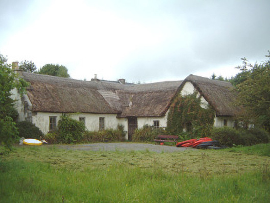 Nasool Cottagehouse · 687 yd
 Sweat Ho.Sweathouse · 757 yd
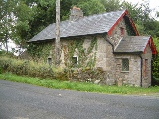 Ballindoon Housegate lodge · 1.1 mi
 Barroe NorthMountain / peak · 1.2 mi
 Ballindoon Castle (in Ruins)Castle, unclassified · 1.5 mi
 Annaghgowla IslandIslet · 1.9 mi
 TumulusCastle, motte · 2.0 mi
 InishmoreIslet · 2.0 mi
 Loughbrick BayBay · 2.8 mi
 Geevagh Prisoners 1908 MemorialMemorial · 3.0 mi
 Riverstown Folk ParkHeritage attraction · 3.6 mi