
What is recorded here
Listed in both the SMR (1989) and RMP (1995) and classsified 'Sweathouse'. In a coniferous forest on the S side of a narrow valley at a meander of a stream. The remains of the sweathouse comprise a roughly circular domed structure (diam. top 2m; diam base 6m; H 2m) with a rectangular opening (Wth 0.45m; H 0.6m; D 0.4m) on the N side facing the stream. It is constructed of rubble limestone in rough courses, bonded with lime mortar. The splayed lintelled opening, which is flush with the external wall face, has jambs of roughly shaped limestone blocks. Internally there is a single rectangular cell (1.8m N-S; 1.7m E-W; H 1.6tm) with a corbelled roof and a level floor of packed earth. The internal surface of the wall, which is unrendered, is faced with shaped limestone rubble bonded with lime mortar. The sweathouse is overgrown with briars. It is marked on the 1914 edition of the OS 6-inch map but not on the 1838 edition, an indicator that it is probably 19th century in date.
Compiled by: Archaeological Survey Unit, UCC
Date of upload: 04 January 2012
The monument record does not grant public access. Check the route and ask the landowner before entering private land.
- What survives
- Recorded monument
Places near here
 Sweat Ho. (1838).Sweathouse · 524 yd
 Enclosure in BullaunEnclosure · 856 yd
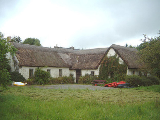 Nasool Cottagehouse · 1036 yd
 Barroe NorthMountain / peak · 1543 yd
 Penitential station in CoollemoneenPenitential station · 1.1 mi
 Ballindoon Castle (in Ruins)Castle, unclassified · 1.5 mi
 TumulusCastle, motte · 2.1 mi
 InishmoreIslet · 2.1 mi
 Annaghgowla IslandIslet · 2.1 mi
 Geevagh Prisoners 1908 MemorialMemorial · 2.5 mi
 Loughbrick BayBay · 2.7 mi
 Carrane HillCliff · 3.8 mi
Other information
Photo: Credit not shown in the picture search · Rights wording not checked; contact us if this picture should be removed