What is recorded here
Situated on a SE-facing slope of rising ground in a mountainous area with extensive views. A heavily overgrown site consisting of a circular area (diam. 26m N-S) enclosed by two earth and stone banks with intervening fosse (Wth 4m; D 1m) which appears to have been recut (Stout 1984, 61). No entrance feature visible. A dense cover of vegetation made it imposssible to examine the site in detail.
The above description is derived from 'The Archaeological Inventory of County Tipperary. Vol. 1 - North Tipperary' compiled by Jean Farrelly and Caimin O'Brien (Dublin: Stationery Office, 2002). In certain instances the entries have been revised and updated in the light of recent research.
Date of upload/revision: 22 September 2008
The monument record does not grant public access. Check the route and ask the landowner before entering private land.
- What survives
- Recorded monument
Places near here
 dam/reservoir/basindam/reservoir/basin · 692 yd
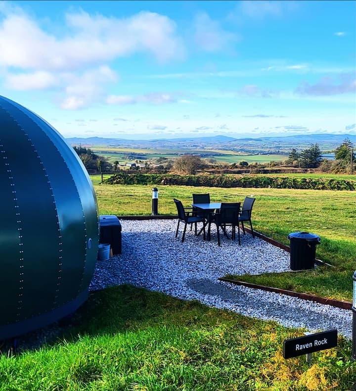 Enclosure in Killea (killea Par.)Enclosure · 949 yd
 Enclosure in KilduffEnclosure · 1201 yd
 Castle Housefolly · 1512 yd
 Kilduff MountainMountain / peak · 1550 yd
 Devil's Bit MountainMountain / peak · 1.1 mi
 BatteryCastle, ringwork · 1.6 mi
 CastleCastle, ringwork · 2.0 mi
 Morris's GroveForest · 3.2 mi
 Longford WoodForest · 3.3 mi
 Thomas MacDonagh Heritage CentreMuseum · 10 mi
 MacDonagh HouseMemorial · 10 mi