What is recorded here
Kilderreen holds a broken fairy fort where cattle tread through ancient earth. Its low bank and hidden ditch have surrendered their entrance to time and hoofprints. What remains is a shallow oval scar on a NNE-facing slope, waiting for someone to remember the shape of the door.
On a NNE-facing slope in low-lying pasture. A raised roughly oval area (42.6m NW-SE; 34.7m NE-SW) enclosed by a low bank of earth and stone (Wth 5.3m; H 1.1m max.), punctuated by numerous cattle breaks, and an infilled external fosse (Wth 3.6m). A report in 1975 (SMR file) recorded an outer bank that is no longer visible at ground level. The original entrance is not recognisable.
Compiled by: Patrick F. O'Donovan
Date of upload: 26 August 2011
The monument record does not grant public access. Check the route and ask the landowner before entering private land.
- What survives
- Recorded monument
Places near here
 IndicatedFairy fort / earthen ringfort · 925 yd
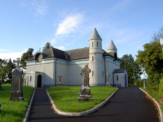 Saint James's Catholic Churchchurch/chapel · 1109 yd
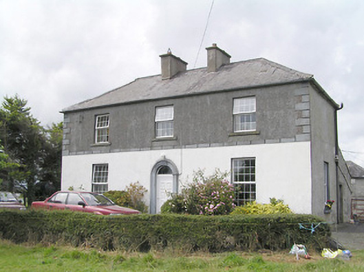 Firmount Housesteward's house · 1195 yd
 Enclosure in Knockanbaun OR WhitehillEnclosure · 1246 yd
 Moat & FortCastle, motte and bailey · 1675 yd
 RuinsCastle, unclassified · 1.1 mi
 Clonfin Ambush MemorialMemorial · 1.6 mi
 Cloonfin WoodForest · 2.5 mi
 Ballinalee Forest WalkForest · 2.7 mi
 Bully's Acregraveyard/cemetery, unknown · 3.1 mi
 Edgeworthstown BypassMemorial · 3.4 mi
 Granard MotteMotte-and-bailey castle remains · 5.0 mi