What is recorded here
Located at the S tip of a N-S spur. A small circular embanked enclosure (ext. diam. c. 20m) is depicted only on the 1834 edition of the OS 6-inch map where it is described in gothic lettering as a ‘fort’. No archaeological feature is visible at ground level in pasture, although a N-S field bank just to the E has more than the usual amount of field stones.
The above description is derived from the published 'Archaeological Inventory of County Monaghan' (Dublin: Stationery Office, 1986). In certain instances the entries have been revised and updated in the light of recent research.
Date of revision: 30 August 2017
The monument record does not grant public access. Check the route and ask the landowner before entering private land.
- What survives
- Recorded monument
Places near here
 Ecclesiastical enclosure in SellooEcclesiastical enclosure · 450 yd
 Not indicatdCross, High cross · 466 yd
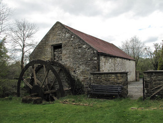 Drummans Millmill (water) · 1.0 mi
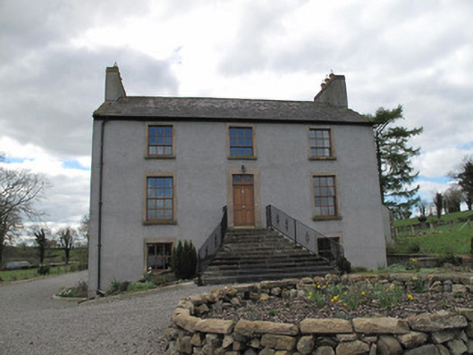 Kilcorran Househouse · 1.1 mi
 Attack on Derryard checkpointterrorist attack · 2.4 mi
 Rough HillMountain / peak · 2.5 mi
 Jaundice WellSpring · 3.5 mi
 Sliabh Beagh Hotel and Tourism CentreVisitor information · 3.6 mi
 Western RedcedarWestern Redcedar · 4.0 mi
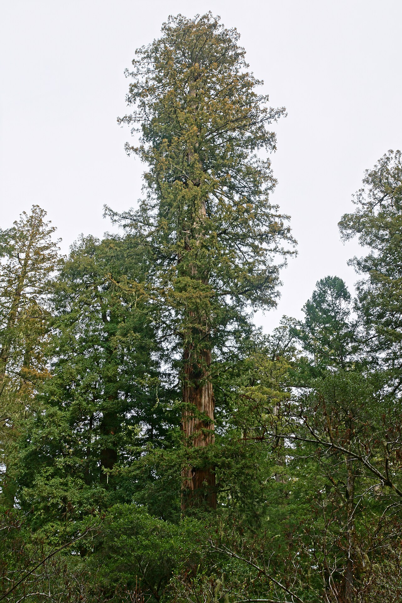 Coast RedwoodCoast Redwood · 4.0 mi
 Roosky Castle (Site of)Castle, ringwork · 4.6 mi
 Lisarrilly HillMountain / peak · 4.7 mi