What is recorded here
Kilcranathan holds a forty-metre earthen ring above Finnow stream, its stone-faced entrance still pointing toward the southeast. Trees and bushes have swallowed the bank, turning a human boundary into a living shape that breathes with the slope. Whatever warning, worship or household once used that gate has vanished, leaving only the circle to argue back against forgetting.
In tillage, on gentle W-facing slope, above Finnow stream. Circular area (internal diam. 40m E-W; 39m N-S) enclosed by earthen bank (int. H 1.75m; ext. H 2m); external fosse (D 0.2m) NW->WSW. Bank overgrown with bushes and trees. Entrance (Wth 5m) to SSE; sides stone faced. Interior grass covered; slopes down to NW.
The above description is derived from the published 'Archaeological Inventory of County Cork. Volume 4: North Cork' (Dublin: Stationery Office, 2000). In certain instances the entries have been revised and updated in the light of recent research.
Date of upload/revision: 14 January 2009
The monument record does not grant public access. Check the route and ask the landowner before entering private land.
- What survives
- Recorded monument
Places near here
 Kilcranathan WellHoly well · 505 yd
 Old Burial GroundBurial ground · 1075 yd
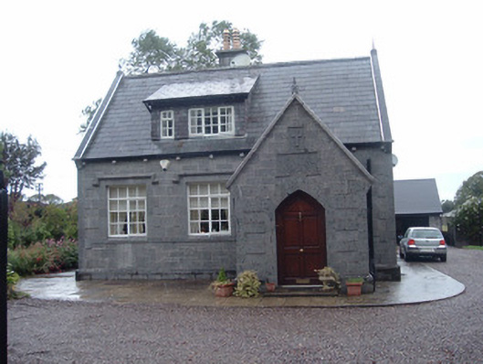 Longueville Schoolschool · 1312 yd
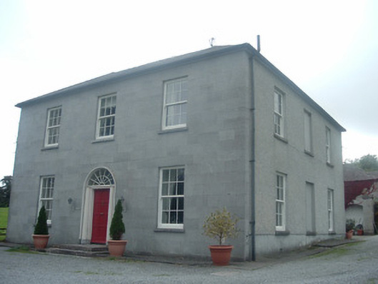 Blossomfort Househouse · 1563 yd
 CastleBawn · 1.3 mi
 Dromaneen CastleHeritage attraction · 1.6 mi
 Castle (Remains of)Castle, unclassified · 2.1 mi
 In loving memory of Elvis O'DonoghueMemorial · 3.3 mi
 Graveyard in Ballygiblin (duhallow By.)Graveyard · 3.4 mi
 European YewEuropean Yew · 4.9 mi
 Burial ground in AssolasBurial ground · 5.1 mi
 Mount HillaryMountain / peak · 5.5 mi